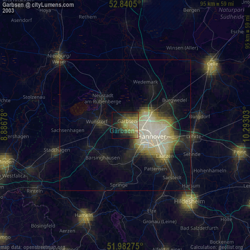
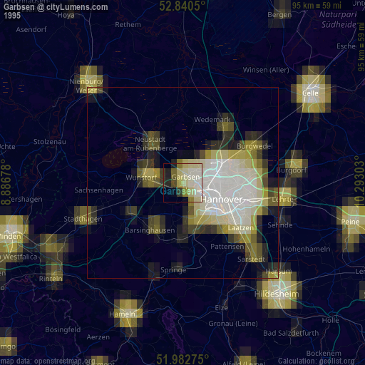
Garbsen night lights from space
Night Light of Garbsen (Lower Saxony) from space (Germany) Src. Average luminocity for 10x10km area is 32.7992% and for 50x50km: 12.2878%.


Analysis of Garbsen night lights 2016
Square area 10x10 km:
 5.56%
5.56%90-99
6.44%80-89
2.4%70-79
3.28%60-69
4.29%50-59
6.57%40-49
3.66%30-39
5.56%20-29
12.88%10-19
16.54%0-9
32.83%Square area 50x50 km:
2.79%90-99
3.02%80-89
1.09%70-79
1.04%60-69
1.15%50-59
1.34%40-49
0.94%30-39
1.41%20-29
3.09%10-19
5.68%0-9
78.44%Clear (daylight) street map image can be seen on geolist.org.
Map coordinates:
52° 50' 25.8" North, 8° 53' 12.4" East
52° 24' 49.4" North, 9° 35' 23.6" East
51° 58' 57.9" North, 10° 17' 34.9" East
Some cities around Garbsen sort by population:
• Hannover
10.8 km =6.7 mi,  116°
116°
• Langenhagen
10.7 km =6.6 mi,  69°
69°
• Neustadt am Rübenberge
13.5 km =8.4 mi,  318°
318°
• Wunstorf
10.5 km =6.5 mi,  276°
276°
• Seelze
2 km =1.2 mi,  165°
165°
• Ronnenberg
11.4 km =7.1 mi,  157°
157°
• Gehrden
11.2 km =7 mi,  176°
176°
• Auf der Horst
1.1 km =0.7 mi,  53°
53°
2922586 (p: 63,355)
Sources (retrieved 2019-11-25):
» NASA, Earths city lights 1995
» NASA city lights 2003
» Earth at Night: Flat Maps 2012, 2016