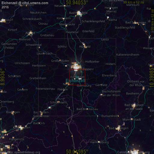
Eichenzell night lights from space
Night Light of Eichenzell (Hesse) from space (Germany) Src. Average luminocity for 10x10km area is 9.577% and for 50x50km: 1.7531%.
Analysis of Eichenzell night lights 2016
Square area 10x10 km:
 1.82%
1.82%90-99
1.54%80-89
0.56%70-79
0%60-69
0.14%50-59
0.56%40-49
0%30-39
0.28%20-29
2.1%10-19
19.47%0-9
73.53%Square area 50x50 km:
0.28%90-99
0.26%80-89
0.09%70-79
0.18%60-69
0.21%50-59
0.34%40-49
0.31%30-39
0.12%20-29
0.35%10-19
1.44%0-9
96.43%Clear (daylight) street map image can be seen on geolist.org.
Map coordinates:
50° 56' 25.9" North, 8° 59' 37" East
50° 29' 43.3" North, 9° 41' 48.2" East
50° 2' 45.4" North, 10° 23' 59.5" East
Some cities around Eichenzell sort by population:
• Fulda
6.4 km =4 mi,  346°
346°
• Schlüchtern
20.3 km =12.6 mi,  216°
216°
• Künzell
5.6 km =3.5 mi,  15°
15°
• Neuhof
7.3 km =4.5 mi,  230°
230°
• Flieden
12.2 km =7.6 mi, 229°
• Großenlüder
15.4 km =9.6 mi,  314°
314°
• Hofbieber
14.1 km =8.8 mi,  44°
44°
• Gersfeld
16.1 km =10 mi,  107°
107°
2932266 (p: 11,042)
Sources (retrieved 2019-11-25):
» Earth at Night: Flat Maps 2012, 2016