Forchheim night lights from space
Night Light of Forchheim (Bavaria) from space (Germany) Src. Average luminocity for 10x10km area is 13.4492% and for 50x50km: 8.0565%.
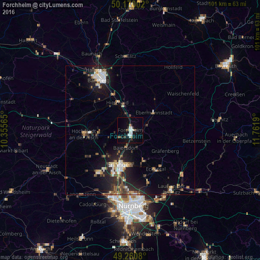
Analysis of Forchheim night lights 2016
Square area 10x10 km:
 1.6%
1.6%90-99
4.14%80-89
0.13%70-79
0%60-69
1.6%50-59
1.47%40-49
1.2%30-39
2.14%20-29
2.14%10-19
7.75%0-9
77.81%Square area 50x50 km:
1.01%90-99
1.17%80-89
0.76%70-79
0.69%60-69
0.87%50-59
1.18%40-49
1.31%30-39
1.28%20-29
3.18%10-19
5.97%0-9
82.58%Clear (daylight) street map image can be seen on geolist.org.
Map coordinates:
50° 10' 12.1" North, 10° 21' 20.3" East
49° 43' 3.1" North, 11° 3' 31.6" East
49° 15' 38.9" North, 11° 45' 42.8" East
Some cities around Forchheim sort by population:
• Erlangen
14.5 km =9 mi,  194°
194°
• Hirschaid
12.2 km =7.6 mi,  335°
335°
• Neunkirchen am Brand
12.8 km =8 mi,  156°
156°
• Baiersdorf
6.8 km =4.2 mi, 193°
• Ebermannstadt
11.3 km =7 mi,  51°
51°
• Eggolsheim
5.8 km =3.6 mi,  358°
358°
• Hemhofen
9.8 km =6.1 mi,  247°
247°
• Heroldsbach
5.1 km =3.2 mi,  238°
238°
2925910 (p: 30,442)
Sources (retrieved 2019-11-25):
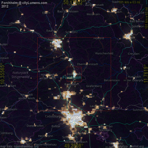
» Earth at Night: Flat Maps 2012, 2016