Bad Hersfeld night lights from space
Night Light of Bad Hersfeld (Hesse) from space (Germany) Src. Average luminocity for 10x10km area is 9.3501% and for 50x50km: 0.9011%.
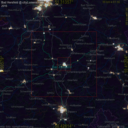
Analysis of Bad Hersfeld night lights 2016
Square area 10x10 km:
 1.82%
1.82%90-99
2.66%80-89
1.4%70-79
0.28%60-69
0.56%50-59
0.56%40-49
0.84%30-39
0.28%20-29
0.56%10-19
0.14%0-9
90.9%Square area 50x50 km:
0.17%90-99
0.16%80-89
0.17%70-79
0.1%60-69
0.04%50-59
0.05%40-49
0.17%30-39
0.07%20-29
0.06%10-19
0.14%0-9
98.86%Clear (daylight) street map image can be seen on geolist.org.
Map coordinates:
51° 18' 48.9" North, 9° 0' 20.8" East
50° 52' 19.1" North, 9° 42' 32.1" East
50° 25' 34.1" North, 10° 24' 43.3" East
Some cities around Bad Hersfeld sort by population:
• Hünfeld
21.8 km =13.5 mi,  169°
169°
• Bebra
12.9 km =8 mi,  28°
28°
• Rotenburg an der Fulda
13.8 km =8.6 mi,  5°
5°
• Heringen
21 km =13 mi,  85°
85°
• Eiterfeld
13.3 km =8.3 mi,  151°
151°
• Burghaun
19.5 km =12.1 mi,  176°
176°
• Niederaula
11.1 km =6.9 mi,  223°
223°
• Alheim
18.2 km =11.3 mi,  350°
350°
2953439 (p: 30,725)
Sources (retrieved 2019-11-25):
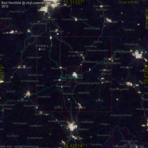
» Earth at Night: Flat Maps 2012, 2016