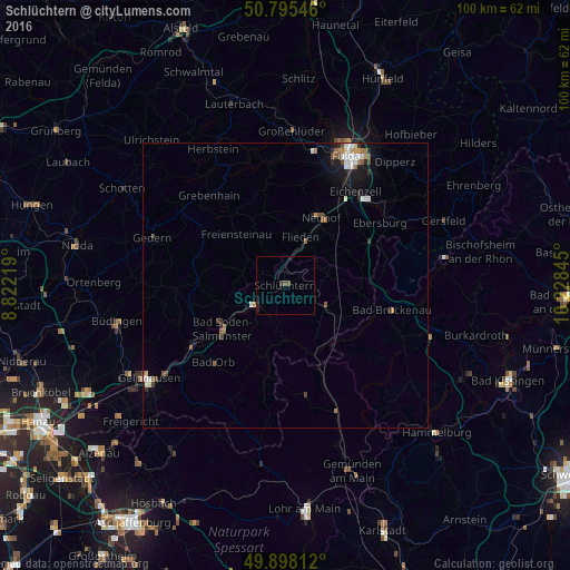
Schlüchtern night lights from space
Night Light of Schlüchtern (Hesse) from space (Germany) Src. Average luminocity for 10x10km area is 0.9748% and for 50x50km: 1.69%.
Analysis of Schlüchtern night lights 2016
Square area 10x10 km:
 0%
0%90-99
0%80-89
0%70-79
0%60-69
0%50-59
0.28%40-49
0.84%30-39
0.56%20-29
0.28%10-19
0.84%0-9
97.2%Square area 50x50 km:
0.27%90-99
0.31%80-89
0.13%70-79
0.14%60-69
0.2%50-59
0.34%40-49
0.27%30-39
0.18%20-29
0.29%10-19
1.01%0-9
96.87%Clear (daylight) street map image can be seen on geolist.org.
Map coordinates:
50° 47' 43.7" North, 8° 49' 19.9" East
50° 20' 56.1" North, 9° 31' 31.2" East
49° 53' 53.2" North, 10° 13' 42.4" East
Some cities around Schlüchtern sort by population:
• Bad Soden-Salmünster
13.9 km =8.6 mi,  234°
234°
• Wächtersbach
19.4 km =12.1 mi,  237°
237°
• Neuhof
13.3 km =8.3 mi,  29°
29°
• Steinau an der Straße
5.9 km =3.7 mi, 228°
• Bad Orb
18.4 km =11.4 mi,  223°
223°
• Flieden
8.8 km =5.5 mi,  19°
19°
• Bad Brückenau
19.3 km =12 mi,  103°
103°
• Birstein
16 km =9.9 mi,  270°
270°
2838201 (p: 17,260)
Sources (retrieved 2019-11-25):
» Earth at Night: Flat Maps 2012, 2016