Duvenstedt night lights from space
Night Light of Duvenstedt (Hamburg) from space (Germany) Src. Average luminocity for 10x10km area is 18.0871% and for 50x50km: 21.6294%.
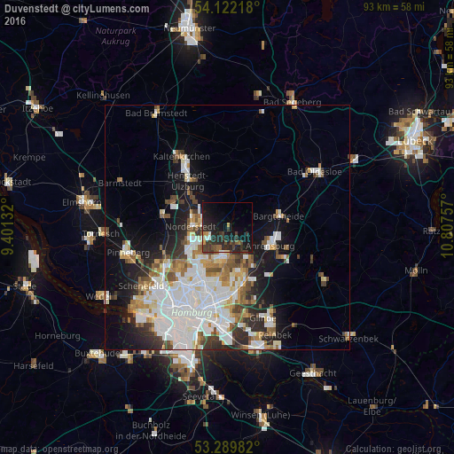
Analysis of Duvenstedt night lights 2016
Square area 10x10 km:
 0.63%
0.63%90-99
1.89%80-89
0.51%70-79
1.52%60-69
1.89%50-59
1.14%40-49
4.8%30-39
7.32%20-29
13.38%10-19
22.47%0-9
44.44%Square area 50x50 km:
6.76%90-99
4.99%80-89
1.48%70-79
1.87%60-69
2.38%50-59
1.98%40-49
2.38%30-39
2.12%20-29
3.77%10-19
8.71%0-9
63.57%Clear (daylight) street map image can be seen on geolist.org.
Map coordinates:
54° 7' 19.8" North, 9° 24' 4.8" East
53° 42' 29" North, 10° 6' 16" East
53° 17' 23.4" North, 10° 48' 27.3" East
Some cities around Duvenstedt sort by population:
• Langenhorn
7.4 km =4.6 mi,  231°
231°
• Sasel
6 km =3.7 mi,  175°
175°
• Poppenbüttel
5.6 km =3.5 mi,  193°
193°
• Hummelsbüttel
7.9 km =4.9 mi,  211°
211°
• Wellingsbüttel
7.6 km =4.7 mi, 192°
• Bergstedt
4.4 km =2.7 mi,  160°
160°
• Lemsahl-Mellingstedt
2.1 km =1.3 mi, 194°
• Tangstedt
3.1 km =1.9 mi,  333°
333°
2934163 (p: 6,022)
Sources (retrieved 2019-11-25):
» Earth at Night: Flat Maps 2012, 2016