Sasel night lights from space
Night Light of Sasel (Hamburg) from space (Germany) Src. Average luminocity for 10x10km area is 51.9571% and for 50x50km: 23.7011%.
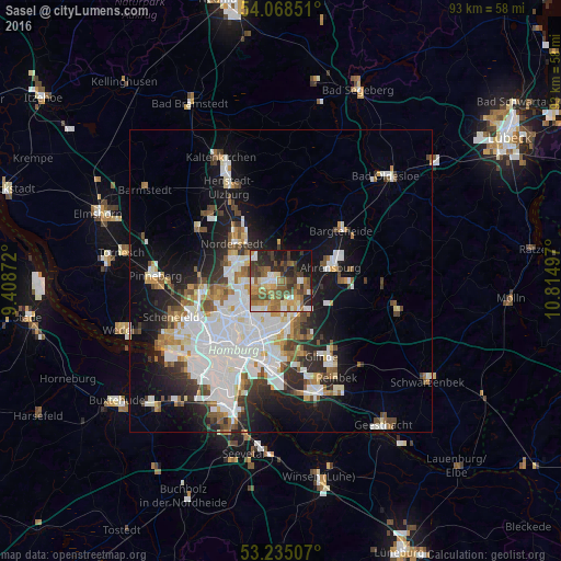
Analysis of Sasel night lights 2016
Square area 10x10 km:
 5.3%
5.3%90-99
9.72%80-89
5.05%70-79
7.32%60-69
13.89%50-59
8.96%40-49
11.99%30-39
10.1%20-29
12.12%10-19
12.25%0-9
3.28%Square area 50x50 km:
7.18%90-99
5.38%80-89
1.53%70-79
1.92%60-69
2.6%50-59
2.24%40-49
2.71%30-39
2.41%20-29
4.56%10-19
10.85%0-9
58.62%Clear (daylight) street map image can be seen on geolist.org.
Map coordinates:
54° 4' 6.6" North, 9° 24' 31.4" East
53° 39' 13.9" North, 10° 6' 42.6" East
53° 14' 6.3" North, 10° 48' 53.9" East
Some cities around Sasel sort by population:
• Farmsen-Berne
5.3 km =3.3 mi,  174°
174°
• Poppenbüttel
1.9 km =1.2 mi,  288°
288°
• Steilshoop
6 km =3.7 mi,  215°
215°
• Hummelsbüttel
4.7 km =2.9 mi,  261°
261°
• Wellingsbüttel
2.5 km =1.6 mi,  236°
236°
• Bergstedt
2.2 km =1.4 mi,  27°
27°
• Lemsahl-Mellingstedt
4.1 km =2.5 mi,  345°
345°
• Duvenstedt
6 km =3.7 mi,  355°
355°
2841374 (p: 23,131)
Sources (retrieved 2019-11-25):
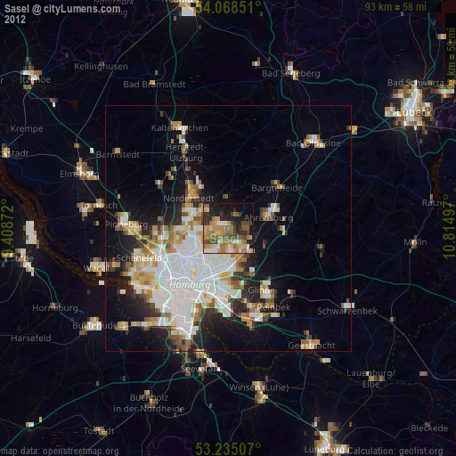
» Earth at Night: Flat Maps 2012, 2016