Hummelsbüttel night lights from space
Night Light of Hummelsbüttel (Hamburg) from space (Germany) Src. Average luminocity for 10x10km area is 72.1162% and for 50x50km: 24.8679%.
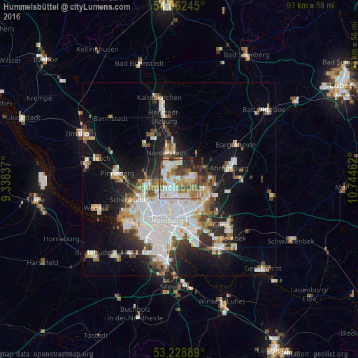
Analysis of Hummelsbüttel night lights 2016
Square area 10x10 km:
 17.42%
90-99
22.22%80-89
5.93%70-79
9.34%60-69
15.28%50-59
7.07%40-49
7.45%30-39
5.43%20-29
7.83%10-19
2.02%0-9
0%Square area 50x50 km:
7.26%90-99
5.58%80-89
1.69%70-79
2.15%60-69
2.77%50-59
2.37%40-49
2.83%30-39
2.48%20-29
4.64%10-19
11.61%0-9
56.61%Clear (daylight) street map image can be seen on geolist.org.
Map coordinates:
54° 3' 44.8" North, 9° 20' 18.1" East
53° 38' 51.8" North, 10° 2' 29.4" East
53° 13' 44" North, 10° 44' 40.6" East
Some cities around Hummelsbüttel sort by population:
• Langenhorn
2.7 km =1.7 mi,  322°
322°
• Sasel
4.7 km =2.9 mi,  81°
81°
• Poppenbüttel
3.1 km =1.9 mi,  65°
65°
• Steilshoop
4.3 km =2.7 mi,  164°
164°
• Ohlsdorf
2.5 km =1.6 mi,  195°
195°
• Alsterdorf
4.5 km =2.8 mi, 204°
• Fuhlsbüttel
2.2 km =1.4 mi,  228°
228°
• Wellingsbüttel
2.6 km =1.6 mi,  106°
106°
2897674 (p: 17,365)
Sources (retrieved 2019-11-25):
» Earth at Night: Flat Maps 2012, 2016