Langenhorn night lights from space
Night Light of Langenhorn (Hamburg) from space (Germany) Src. Average luminocity for 10x10km area is 61.3283% and for 50x50km: 24.556%.
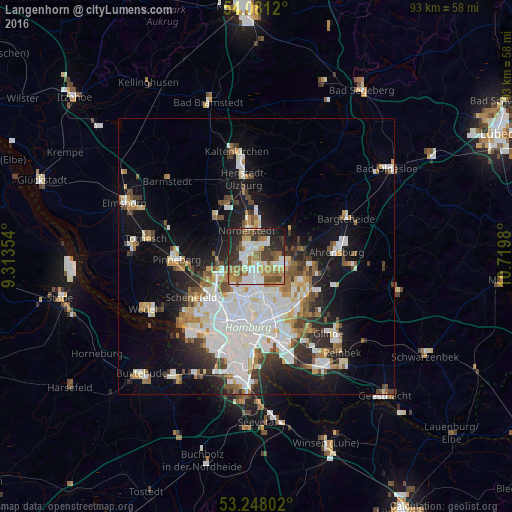
Analysis of Langenhorn night lights 2016
Square area 10x10 km:
 12.37%
90-99
14.77%80-89
5.93%70-79
7.83%60-69
13.64%50-59
6.44%40-49
7.83%30-39
9.6%20-29
15.53%10-19
6.06%0-9
0%Square area 50x50 km:
7.26%90-99
5.53%80-89
1.68%70-79
2.13%60-69
2.73%50-59
2.29%40-49
2.74%30-39
2.45%20-29
4.47%10-19
11.45%0-9
57.28%Clear (daylight) street map image can be seen on geolist.org.
Map coordinates:
54° 4' 52.3" North, 9° 18' 48.7" East
53° 40' 0" North, 10° 1' 0" East
53° 14' 52.9" North, 10° 43' 11.3" East
Some cities around Langenhorn sort by population:
• Norderstedt
3.2 km =2 mi,  311°
311°
• Poppenbüttel
4.6 km =2.9 mi,  100°
100°
• Hummelsbüttel
2.7 km =1.7 mi,  142°
142°
• Ohlsdorf
4.6 km =2.9 mi,  167°
167°
• Alsterdorf
6.2 km =3.9 mi,  182°
182°
• Fuhlsbüttel
3.6 km =2.2 mi, 180°
• Wellingsbüttel
5 km =3.1 mi,  124°
124°
• Lemsahl-Mellingstedt
5.9 km =3.7 mi,  63°
63°
2832561 (p: 45,586)
Sources (retrieved 2019-11-25):
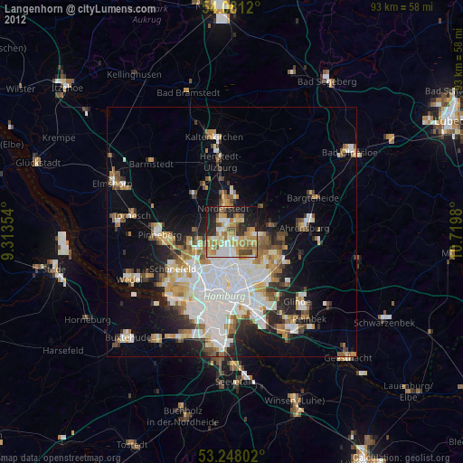
» Earth at Night: Flat Maps 2012, 2016