Duderstadt night lights from space
Night Light of Duderstadt (Lower Saxony) from space (Germany) Src. Average luminocity for 10x10km area is 1.4652% and for 50x50km: 2.1646%.
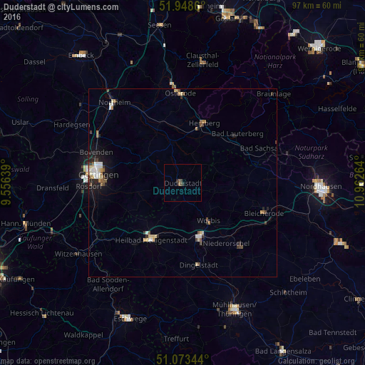
Analysis of Duderstadt night lights 2016
Square area 10x10 km:
 0%
0%90-99
0%80-89
0%70-79
0%60-69
0%50-59
1.07%40-49
0.94%30-39
0.27%20-29
0.94%10-19
0%0-9
96.79%Square area 50x50 km:
0.23%90-99
0.43%80-89
0.32%70-79
0.17%60-69
0.22%50-59
0.33%40-49
0.34%30-39
0.27%20-29
0.45%10-19
1.19%0-9
96.06%Clear (daylight) street map image can be seen on geolist.org.
Map coordinates:
51° 56' 55" North, 9° 33' 23" East
51° 30' 47.2" North, 10° 15' 34.2" East
51° 4' 24.4" North, 10° 57' 45.5" East
Some cities around Duderstadt sort by population:
• Göttingen
22.8 km =14.2 mi,  275°
275°
• Heilbad Heiligenstadt
17.2 km =10.7 mi,  209°
209°
• Herzberg am Harz
16.8 km =10.4 mi,  19°
19°
• Leinefelde-Worbis
14.7 km =9.1 mi,  161°
161°
• Bad Lauterberg im Harz
19.7 km =12.2 mi,  47°
47°
• Bad Sachsa
22.4 km =13.9 mi,  66°
66°
• Katlenburg-Lindau
21.9 km =13.6 mi,  329°
329°
• Worbis
12.6 km =7.8 mi,  145°
145°
2934728 (p: 22,910)
Sources (retrieved 2019-11-25):
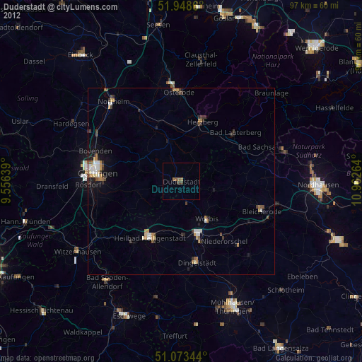
» Earth at Night: Flat Maps 2012, 2016