Donauwörth night lights from space
Night Light of Donauwörth (Bavaria) from space (Germany) Src. Average luminocity for 10x10km area is 9.6205% and for 50x50km: 2.0859%.
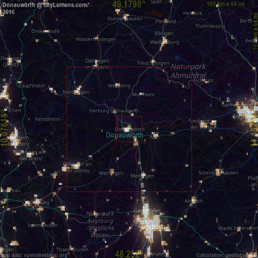
Analysis of Donauwörth night lights 2016
Square area 10x10 km:
 2.08%
2.08%90-99
1.49%80-89
0.6%70-79
0.6%60-69
0.45%50-59
1.93%40-49
1.79%30-39
0%20-29
0.6%10-19
1.04%0-9
89.43%Square area 50x50 km:
0.2%90-99
0.3%80-89
0.14%70-79
0.12%60-69
0.36%50-59
0.39%40-49
0.43%30-39
0.4%20-29
0.45%10-19
0.29%0-9
96.92%Clear (daylight) street map image can be seen on geolist.org.
Map coordinates:
49° 10' 47.3" North, 10° 4' 34.2" East
48° 43' 4.9" North, 10° 46' 45.5" East
48° 15' 7.2" North, 11° 28' 56.7" East
Some cities around Donauwörth sort by population:
• Meitingen
19.9 km =12.4 mi,  164°
164°
• Wertingen
18.7 km =11.6 mi,  202°
202°
• Rain
10.5 km =6.5 mi,  107°
107°
• Höchstädt an der Donau
19.5 km =12.1 mi,  232°
232°
• Buttenwiesen
13.9 km =8.6 mi, 199°
• Harburg
10.1 km =6.3 mi,  319°
319°
• Wemding
17.9 km =11.1 mi,  347°
347°
• Rennertshofen
20.1 km =12.5 mi,  76°
76°
2936253 (p: 18,364)
Sources (retrieved 2019-11-25):
» Earth at Night: Flat Maps 2012, 2016