Wertingen night lights from space
Night Light of Wertingen (Bavaria) from space (Germany) Src. Average luminocity for 10x10km area is 2.4375% and for 50x50km: 6.4829%.
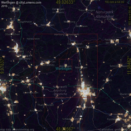
Analysis of Wertingen night lights 2016
Square area 10x10 km:
 0%
0%90-99
0%80-89
0%70-79
0%60-69
1.34%50-59
1.19%40-49
0.45%30-39
0.6%20-29
0.3%10-19
0.89%0-9
95.24%Square area 50x50 km:
1.18%90-99
1.25%80-89
0.59%70-79
0.52%60-69
0.7%50-59
0.74%40-49
1.06%30-39
1.05%20-29
1.71%10-19
2.55%0-9
88.66%Clear (daylight) street map image can be seen on geolist.org.
Map coordinates:
49° 1' 34.8" North, 9° 58' 42.1" East
48° 33' 47.3" North, 10° 40' 53.4" East
48° 5' 44.4" North, 11° 23' 4.6" East
Some cities around Wertingen sort by population:
• Dillingen an der Donau
13.9 km =8.6 mi,  278°
278°
• Donauwörth
18.7 km =11.6 mi,  22°
22°
• Meitingen
12.7 km =7.9 mi,  98°
98°
• Lauingen
18.7 km =11.6 mi,  271°
271°
• Langweid
15 km =9.3 mi,  122°
122°
• Höchstädt an der Donau
9.9 km =6.2 mi,  302°
302°
• Zusmarshausen
19.1 km =11.9 mi,  198°
198°
• Buttenwiesen
4.8 km =3 mi,  32°
32°
2810702 (p: 8,958)
Sources (retrieved 2019-11-25):
» Earth at Night: Flat Maps 2012, 2016