Buttenwiesen night lights from space
Night Light of Buttenwiesen (Bavaria) from space (Germany) Src. Average luminocity for 10x10km area is 2.5045% and for 50x50km: 4.7422%.
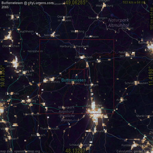
Analysis of Buttenwiesen night lights 2016
Square area 10x10 km:
 0%
0%90-99
0%80-89
0%70-79
0.15%60-69
1.79%50-59
1.04%40-49
0%30-39
0.6%20-29
0.3%10-19
0.89%0-9
95.24%Square area 50x50 km:
0.83%90-99
0.84%80-89
0.29%70-79
0.35%60-69
0.53%50-59
0.54%40-49
0.82%30-39
0.83%20-29
1.32%10-19
2.04%0-9
91.61%Clear (daylight) street map image can be seen on geolist.org.
Map coordinates:
49° 3' 46.3" North, 10° 0' 48.8" East
48° 36' 0" North, 10° 43' 0" East
48° 7' 58.3" North, 11° 25' 11.3" East
Some cities around Buttenwiesen sort by population:
• Dillingen an der Donau
16.4 km =10.2 mi,  262°
262°
• Donauwörth
13.9 km =8.6 mi,  19°
19°
• Meitingen
11.6 km =7.2 mi,  121°
121°
• Wertingen
4.8 km =3 mi,  212°
212°
• Rain
17.8 km =11.1 mi,  55°
55°
• Langweid
15.7 km =9.8 mi,  140°
140°
• Höchstädt an der Donau
11 km =6.8 mi,  276°
276°
• Harburg
20.9 km =13 mi,  354°
354°
2940611 (p: 5,750)
Sources (retrieved 2019-11-25):
» Earth at Night: Flat Maps 2012, 2016