Lichtenfels night lights from space
Night Light of Lichtenfels (Bavaria) from space (Germany) Src. Average luminocity for 10x10km area is 7.1056% and for 50x50km: 2.6423%.
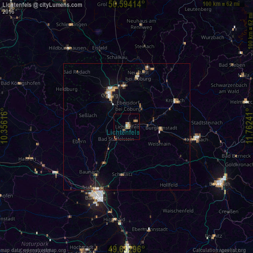
Analysis of Lichtenfels night lights 2016
Square area 10x10 km:
 0.53%
0.53%90-99
0.53%80-89
0.4%70-79
1.34%60-69
3.07%50-59
1.34%40-49
0.67%30-39
0.4%20-29
0%10-19
1.74%0-9
89.97%Square area 50x50 km:
0.2%90-99
0.33%80-89
0.22%70-79
0.29%60-69
0.49%50-59
0.45%40-49
0.51%30-39
0.18%20-29
0.49%10-19
1.91%0-9
94.95%Clear (daylight) street map image can be seen on geolist.org.
Map coordinates:
50° 35' 38.9" North, 10° 21' 22.2" East
50° 8' 44.4" North, 11° 3' 33.4" East
49° 41' 34.7" North, 11° 45' 44.7" East
Some cities around Lichtenfels sort by population:
• Coburg
14.4 km =8.9 mi,  331°
331°
• Bad Staffelstein
6.4 km =4 mi,  220°
220°
• Kueps Oberfranken
16.3 km =10.1 mi,  71°
71°
• Burgkunstadt
13.7 km =8.5 mi,  92°
92°
• Michelau
4.2 km =2.6 mi,  63°
63°
• Ebensfeld
11.4 km =7.1 mi, 219°
• Altenkunstadt
13.8 km =8.6 mi,  99°
99°
• Sonnefeld
9.5 km =5.9 mi,  33°
33°
2878074 (p: 21,336)
Sources (retrieved 2019-11-25):
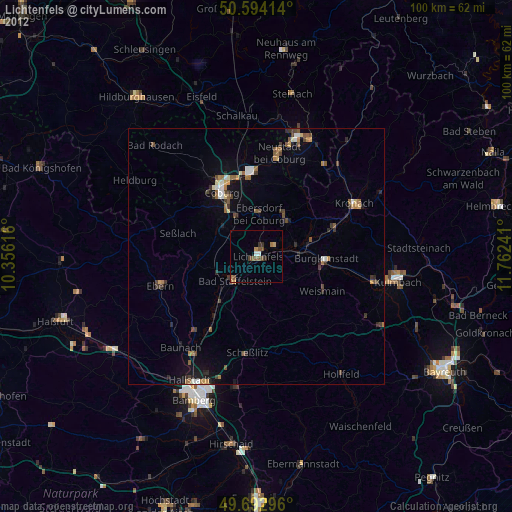
» Earth at Night: Flat Maps 2012, 2016