Bösel night lights from space
Night Light of Bösel (Lower Saxony) from space (Germany) Src. Average luminocity for 10x10km area is 0% and for 50x50km: 1.7601%.
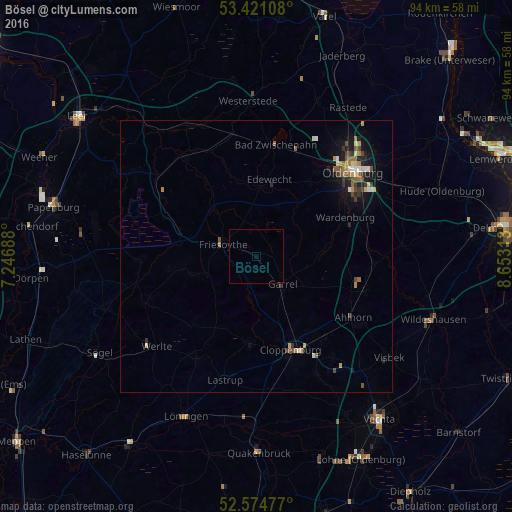
Analysis of Bösel night lights 2016
Square area 10x10 km:
 0%
0%90-99
0%80-89
0%70-79
0%60-69
0%50-59
0%40-49
0%30-39
0%20-29
0%10-19
0%0-9
100%Square area 50x50 km:
0.15%90-99
0.18%80-89
0.21%70-79
0.21%60-69
0.29%50-59
0.33%40-49
0.35%30-39
0.28%20-29
0.3%10-19
1.3%0-9
96.4%Clear (daylight) street map image can be seen on geolist.org.
Map coordinates:
53° 25' 15.9" North, 7° 14' 48.8" East
53° 0' 0" North, 7° 57' 0" East
52° 34' 29.2" North, 8° 39' 11.3" East
Some cities around Bösel sort by population:
• Cloppenburg
18.1 km =11.2 mi,  159°
159°
• Bad Zwischenahn
20.7 km =12.9 mi,  9°
9°
• Edewecht
14.3 km =8.9 mi, 9°
• Friesoythe
6.7 km =4.2 mi,  292°
292°
• Wardenburg
18.3 km =11.4 mi,  66°
66°
• Großenkneten
21.2 km =13.2 mi,  107°
107°
• Garrel
7.1 km =4.4 mi,  141°
141°
• Molbergen
15.9 km =9.9 mi,  185°
185°
2945907 (p: 7,511)
Sources (retrieved 2019-11-25):
» Earth at Night: Flat Maps 2012, 2016