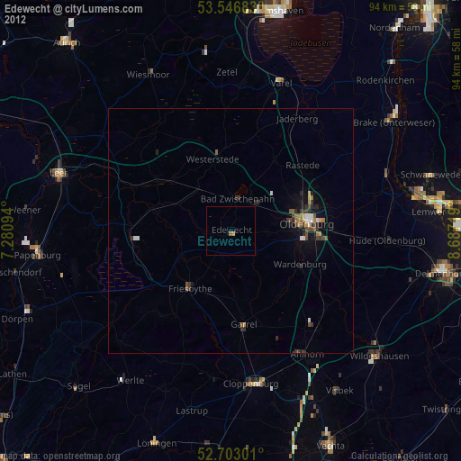
Edewecht night lights from space
Night Light of Edewecht (Lower Saxony) from space (Germany) Src. Average luminocity for 10x10km area is 0.1349% and for 50x50km: 1.5021%.
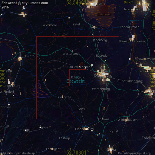
Analysis of Edewecht night lights 2016
Square area 10x10 km:
 0%
0%90-99
0%80-89
0%70-79
0%60-69
0%50-59
0%40-49
0%30-39
0%20-29
0.53%10-19
0%0-9
99.47%Square area 50x50 km:
0.13%90-99
0.16%80-89
0.16%70-79
0.15%60-69
0.29%50-59
0.28%40-49
0.3%30-39
0.24%20-29
0.24%10-19
1.24%0-9
96.81%Clear (daylight) street map image can be seen on geolist.org.
Map coordinates:
53° 32' 48.6" North, 7° 16' 51.4" East
53° 7' 37.2" North, 7° 59' 2.6" East
52° 42' 10.8" North, 8° 41' 13.9" East
Some cities around Edewecht sort by population:
• Oldenburg
15.5 km =9.6 mi,  84°
84°
• Bad Zwischenahn
6.4 km =4 mi,  9°
9°
• Westerstede
14.9 km =9.3 mi,  345°
345°
• Friesoythe
14.4 km =8.9 mi,  216°
216°
• Wardenburg
15.9 km =9.9 mi,  114°
114°
• Wiefelstede
16.3 km =10.1 mi,  32°
32°
• Apen
15.8 km =9.8 mi,  309°
309°
• Bösel
14.3 km =8.9 mi,  189°
189°
2933364 (p: 20,658)
Sources (retrieved 2019-11-25):
» Earth at Night: Flat Maps 2012, 2016