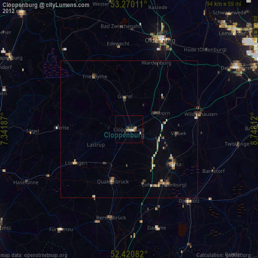
Cloppenburg night lights from space
Night Light of Cloppenburg (Lower Saxony) from space (Germany) Src. Average luminocity for 10x10km area is 4.2992% and for 50x50km: 1.008%.

Analysis of Cloppenburg night lights 2016
Square area 10x10 km:
 0.51%
0.51%90-99
0.51%80-89
0.51%70-79
1.01%60-69
0.51%50-59
0.51%40-49
1.01%30-39
0.76%20-29
0.25%10-19
0.51%0-9
93.94%Square area 50x50 km:
0.06%90-99
0.09%80-89
0.06%70-79
0.16%60-69
0.22%50-59
0.29%40-49
0.2%30-39
0.16%20-29
0.16%10-19
0.08%0-9
98.52%Clear (daylight) street map image can be seen on geolist.org.
Map coordinates:
53° 16' 12.4" North, 7° 20' 30.7" East
52° 50' 51.1" North, 8° 2' 42" East
52° 25' 15" North, 8° 44' 53.2" East
Some cities around Cloppenburg sort by population:
• Großenkneten
17.6 km =10.9 mi,  52°
52°
• Garrel
11.5 km =7.1 mi,  350°
350°
• Emstek
7.2 km =4.5 mi,  102°
102°
• Essen
15.7 km =9.8 mi,  207°
207°
• Molbergen
8.1 km =5 mi,  278°
278°
• Lastrup
13.3 km =8.3 mi,  243°
243°
• Cappeln
6.2 km =3.9 mi,  131°
131°
• Bakum
15.6 km =9.7 mi,  139°
139°
2939969 (p: 31,177)
Sources (retrieved 2019-11-25):
» Earth at Night: Flat Maps 2012, 2016