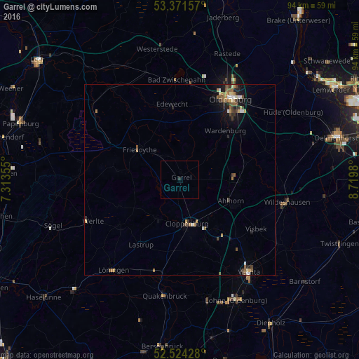
Garrel night lights from space
Night Light of Garrel (Lower Saxony) from space (Germany) Src. Average luminocity for 10x10km area is 0.1323% and for 50x50km: 1.7298%.
Analysis of Garrel night lights 2016
Square area 10x10 km:
 0%
0%90-99
0%80-89
0%70-79
0%60-69
0%50-59
0%40-49
0%30-39
0%20-29
0.53%10-19
0%0-9
99.47%Square area 50x50 km:
0.16%90-99
0.17%80-89
0.21%70-79
0.21%60-69
0.33%50-59
0.36%40-49
0.34%30-39
0.28%20-29
0.33%10-19
0.98%0-9
96.64%Clear (daylight) street map image can be seen on geolist.org.
Map coordinates:
53° 22' 17.7" North, 7° 18' 48.8" East
52° 57' 0" North, 8° 1' 0" East
52° 31' 27.4" North, 8° 43' 11.3" East
Some cities around Garrel sort by population:
• Cloppenburg
11.5 km =7.1 mi,  170°
170°
• Friesoythe
13.4 km =8.3 mi,  307°
307°
• Wardenburg
17.9 km =11.1 mi,  43°
43°
• Großenkneten
15.9 km =9.9 mi,  92°
92°
• Emstek
15.8 km =9.8 mi,  145°
145°
• Molbergen
11.9 km =7.4 mi,  210°
210°
• Bösel
7.1 km =4.4 mi,  321°
321°
• Cappeln
16.8 km =10.4 mi,  156°
156°
2922511 (p: 12,273)
Sources (retrieved 2019-11-25):
» Earth at Night: Flat Maps 2012, 2016