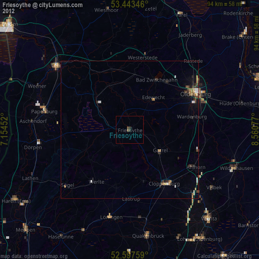
Friesoythe night lights from space
Night Light of Friesoythe (Lower Saxony) from space (Germany) Src. Average luminocity for 10x10km area is 0.5952% and for 50x50km: 1.3173%.
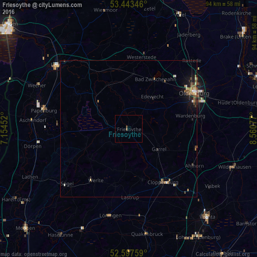
Analysis of Friesoythe night lights 2016
Square area 10x10 km:
 0%
0%90-99
0%80-89
0%70-79
0%60-69
0.53%50-59
0%40-49
0.53%30-39
0%20-29
0%10-19
0%0-9
98.94%Square area 50x50 km:
0.1%90-99
0.16%80-89
0.15%70-79
0.17%60-69
0.26%50-59
0.28%40-49
0.26%30-39
0.22%20-29
0.18%10-19
0.76%0-9
97.47%Clear (daylight) street map image can be seen on geolist.org.
Map coordinates:
53° 26' 36.5" North, 7° 9' 16.3" East
53° 1' 21.4" North, 7° 51' 27.5" East
52° 35' 51.3" North, 8° 33' 38.8" East
Some cities around Friesoythe sort by population:
• Bad Zwischenahn
20.2 km =12.6 mi,  28°
28°
• Edewecht
14.4 km =8.9 mi,  36°
36°
• Barßel
17.9 km =11.1 mi,  336°
336°
• Garrel
13.4 km =8.3 mi,  127°
127°
• Ostrhauderfehn
20.3 km =12.6 mi,  307°
307°
• Molbergen
18.9 km =11.7 mi,  166°
166°
• Bösel
6.7 km =4.2 mi,  112°
112°
• Esterwegen
15.4 km =9.6 mi,  257°
257°
2924360 (p: 20,311)
Sources (retrieved 2019-11-25):
» Earth at Night: Flat Maps 2012, 2016