Willingen night lights from space
Night Light of Willingen (Hesse) from space (Germany) Src. Average luminocity for 10x10km area is 0.3305% and for 50x50km: 0.977%.
Analysis of Willingen night lights 2016
Square area 10x10 km:
 0%
0%90-99
0%80-89
0%70-79
0%60-69
0%50-59
0.56%40-49
0%30-39
0%20-29
0%10-19
0%0-9
99.44%Square area 50x50 km:
0.09%90-99
0.12%80-89
0.03%70-79
0.11%60-69
0.19%50-59
0.26%40-49
0.24%30-39
0.17%20-29
0.12%10-19
0.09%0-9
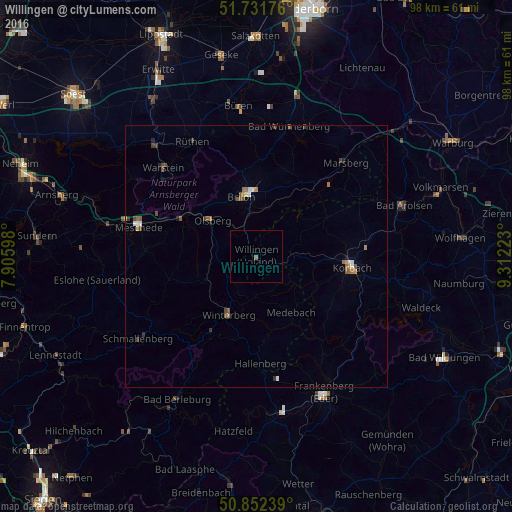
98.57%Clear (daylight) street map image can be seen on geolist.org.
Map coordinates:
51° 43' 54.3" North, 7° 54' 21.5" East
51° 17' 39" North, 8° 36' 32.8" East
50° 51' 8.6" North, 9° 18' 44" East
Some cities around Willingen sort by population:
• Meschede
23.5 km =14.6 mi,  285°
285°
• Warstein
24.7 km =15.3 mi,  312°
312°
• Brilon
11.5 km =7.1 mi,  346°
346°
• Korbach
18.5 km =11.5 mi,  96°
96°
• Olsberg
10.8 km =6.7 mi, 309°
• Winterberg
12.4 km =7.7 mi,  204°
204°
• Bestwig
16.3 km =10.1 mi,  297°
297°
• Medebach
12.7 km =7.9 mi,  147°
147°
2808544 (p: 6,564)
Sources (retrieved 2019-11-25):
» Earth at Night: Flat Maps 2012, 2016