Bayreuth night lights from space
Night Light of Bayreuth (Bavaria) from space (Germany) Src. Average luminocity for 10x10km area is 20.937% and for 50x50km: 1.7303%.
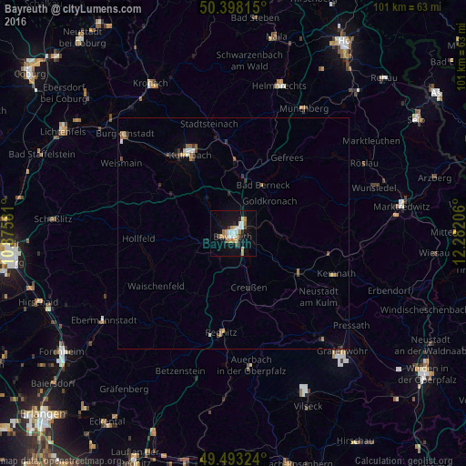
Analysis of Bayreuth night lights 2016
Square area 10x10 km:
 3.92%
3.92%90-99
2.94%80-89
1.4%70-79
4.76%60-69
3.08%50-59
1.26%40-49
1.26%30-39
1.54%20-29
1.54%10-19
21.43%0-9
56.86%Square area 50x50 km:
0.2%90-99
0.21%80-89
0.14%70-79
0.24%60-69
0.34%50-59
0.15%40-49
0.25%30-39
0.28%20-29
0.21%10-19
1.02%0-9
96.95%Clear (daylight) street map image can be seen on geolist.org.
Map coordinates:
50° 23' 53.3" North, 10° 52' 32.9" East
49° 56' 52.2" North, 11° 34' 44.1" East
49° 29' 35.7" North, 12° 16' 55.4" East
Some cities around Bayreuth sort by population:
• Kulmbach
19.3 km =12 mi,  331°
331°
• Pegnitz
21.9 km =13.6 mi,  186°
186°
• Neunkirchen am Main
5.7 km =3.5 mi,  119°
119°
• Bindlach
4.5 km =2.8 mi,  33°
33°
• Mainleus
22.2 km =13.8 mi,  319°
319°
• Speichersdorf
16.8 km =10.4 mi, 120°
• Hollfeld
20.6 km =12.8 mi,  266°
266°
• Eckersdorf
15.9 km =9.9 mi,  304°
304°
2951825 (p: 75,061)
Sources (retrieved 2019-11-25):
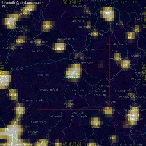
» NASA, Earths city lights 1995
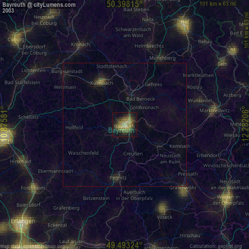
» NASA city lights 2003
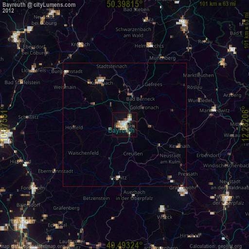
» Earth at Night: Flat Maps 2012, 2016