Kulmbach night lights from space
Night Light of Kulmbach (Bavaria) from space (Germany) Src. Average luminocity for 10x10km area is 9.0214% and for 50x50km: 2.1127%.
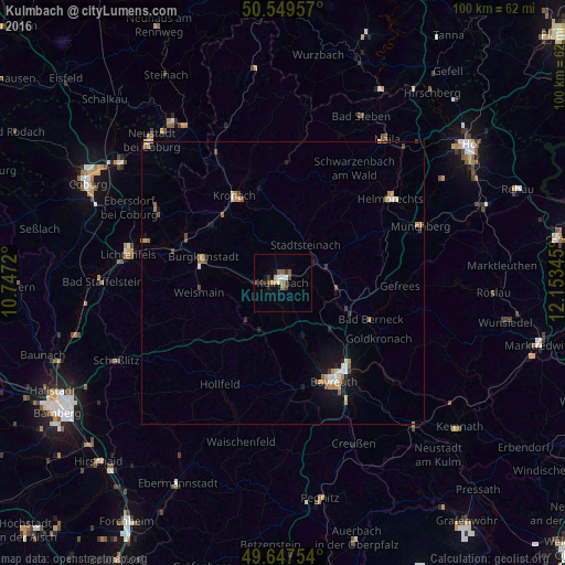
Analysis of Kulmbach night lights 2016
Square area 10x10 km:
 0.67%
0.67%90-99
1.47%80-89
0.53%70-79
1.07%60-69
0.8%50-59
2.41%40-49
1.47%30-39
2.27%20-29
1.07%10-19
1.07%0-9
87.17%Square area 50x50 km:
0.22%90-99
0.23%80-89
0.2%70-79
0.39%60-69
0.37%50-59
0.24%40-49
0.34%30-39
0.29%20-29
0.17%10-19
1.18%0-9
96.38%Clear (daylight) street map image can be seen on geolist.org.
Map coordinates:
50° 32' 58.5" North, 10° 44' 49.9" East
50° 6' 2.4" North, 11° 27' 1.2" East
49° 38' 51.1" North, 12° 9' 12.4" East
Some cities around Kulmbach sort by population:
• Bayreuth
19.3 km =12 mi,  151°
151°
• Kronach
17.6 km =10.9 mi,  331°
331°
• Kueps Oberfranken
16.1 km =10 mi,  309°
309°
• Bindlach
17.7 km =11 mi,  138°
138°
• Burgkunstadt
14.8 km =9.2 mi,  287°
287°
• Mainleus
5.3 km =3.3 mi,  269°
269°
• Altenkunstadt
14.5 km =9 mi,  280°
280°
• Eckersdorf
8.9 km =5.5 mi,  205°
205°
2882588 (p: 27,565)
Sources (retrieved 2019-11-25):
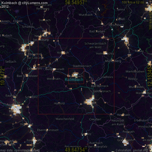
» Earth at Night: Flat Maps 2012, 2016