Bad Soden-Salmünster night lights from space
Night Light of Bad Soden-Salmünster (Hesse) from space (Germany) Src. Average luminocity for 10x10km area is 1.9666% and for 50x50km: 1.6167%.
Analysis of Bad Soden-Salmünster night lights 2016
Square area 10x10 km:
 0%
0%90-99
0%80-89
0%70-79
0%60-69
0.13%50-59
1.47%40-49
0.53%30-39
0.8%20-29
0.8%10-19
0.53%0-9
95.72%Square area 50x50 km:
0.09%90-99
0.16%80-89
0.14%70-79
0.15%60-69
0.29%50-59
0.44%40-49
0.28%30-39
0.28%20-29
0.28%10-19
0.8%0-9
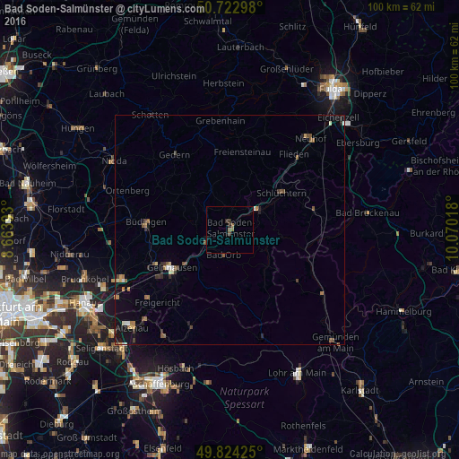
97.1%Clear (daylight) street map image can be seen on geolist.org.
Map coordinates:
50° 43' 22.7" North, 8° 39' 50.1" East
50° 16' 32.7" North, 9° 22' 1.4" East
49° 49' 27.3" North, 10° 4' 12.6" East
Some cities around Bad Soden-Salmünster sort by population:
• Gelnhausen
15.2 km =9.4 mi,  237°
237°
• Büdingen
18.2 km =11.3 mi,  275°
275°
• Schlüchtern
13.9 km =8.6 mi,  54°
54°
• Hain-Gründau
16.4 km =10.2 mi,  257°
257°
• Wächtersbach
5.6 km =3.5 mi,  245°
245°
• Steinau an der Straße
8.1 km =5 mi,  58°
58°
• Bad Orb
5.5 km =3.4 mi,  194°
194°
• Birstein
9.5 km =5.9 mi,  330°
330°
2953338 (p: 13,953)
Sources (retrieved 2019-11-25):
» Earth at Night: Flat Maps 2012, 2016