Büdingen night lights from space
Night Light of Büdingen (Hesse) from space (Germany) Src. Average luminocity for 10x10km area is 1.857% and for 50x50km: 6.1877%.
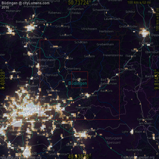
Analysis of Büdingen night lights 2016
Square area 10x10 km:
 0%
0%90-99
0%80-89
0%70-79
0%60-69
0.8%50-59
0.8%40-49
0.53%30-39
0.53%20-29
0%10-19
1.6%0-9
95.72%Square area 50x50 km:
0.66%90-99
1.02%80-89
0.57%70-79
0.58%60-69
1.07%50-59
1.05%40-49
0.68%30-39
1.25%20-29
2.46%10-19
3.84%0-9
86.81%Clear (daylight) street map image can be seen on geolist.org.
Map coordinates:
50° 44' 14.1" North, 8° 24' 29.8" East
50° 17' 24.5" North, 9° 6' 41" East
49° 50' 19.6" North, 9° 48' 52.3" East
Some cities around Büdingen sort by population:
• Gelnhausen
11.2 km =7 mi,  151°
151°
• Hain-Gründau
5.7 km =3.5 mi,  156°
156°
• Langenselbold
13.6 km =8.5 mi,  201°
201°
• Wächtersbach
13.7 km =8.5 mi,  106°
106°
• Altenstadt
11.9 km =7.4 mi,  268°
268°
• Ortenberg
8.3 km =5.2 mi,  331°
331°
• Birstein
15 km =9.3 mi,  63°
63°
• Ranstadt
11.7 km =7.3 mi,  309°
309°
2942073 (p: 21,579)
Sources (retrieved 2019-11-25):
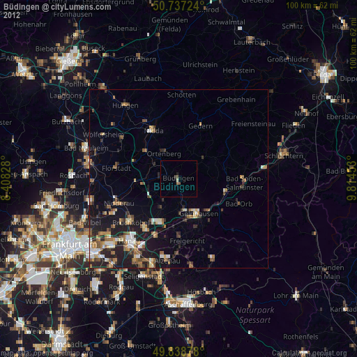
» Earth at Night: Flat Maps 2012, 2016