Bad Marienberg night lights from space
Night Light of Bad Marienberg (Rheinland-Pfalz) from space (Germany) Src. Average luminocity for 10x10km area is 0.4385% and for 50x50km: 2.4659%.
Analysis of Bad Marienberg night lights 2016
Square area 10x10 km:
 0%
0%90-99
0%80-89
0%70-79
0%60-69
0%50-59
0%40-49
0.53%30-39
0%20-29
0%10-19
1.07%0-9
98.4%Square area 50x50 km:
0.14%90-99
0.17%80-89
0.16%70-79
0.32%60-69
0.4%50-59
0.49%40-49
0.58%30-39
0.67%20-29
0.42%10-19
0.95%0-9
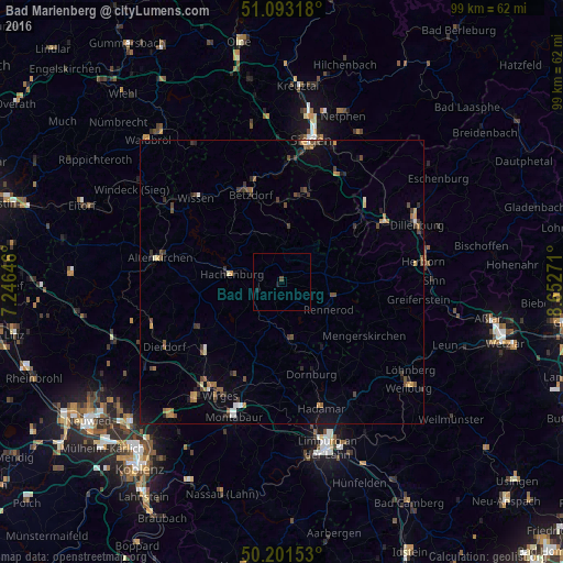
95.7%Clear (daylight) street map image can be seen on geolist.org.
Map coordinates:
51° 5' 35.4" North, 7° 14' 47.3" East
50° 38' 58.1" North, 7° 56' 58.5" East
50° 12' 5.5" North, 8° 39' 9.8" East
Some cities around Bad Marienberg sort by population:
• Burbach
14.5 km =9 mi,  38°
38°
• Neunkirchen
17.1 km =10.6 mi,  11°
11°
• Betzdorf
16.7 km =10.4 mi,  340°
340°
• Herdorf
14.2 km =8.8 mi,  1°
1°
• Mengerskirchen
17.4 km =10.8 mi,  123°
123°
• Westerburg
10.2 km =6.3 mi,  169°
169°
• Hachenburg
9 km =5.6 mi,  277°
277°
• Driedorf
16.6 km =10.3 mi,  96°
96°
2953404 (p: 5,838)
Sources (retrieved 2019-11-25):
» Earth at Night: Flat Maps 2012, 2016