Aschaffenburg night lights from space
Night Light of Aschaffenburg (Bavaria) from space (Germany) Src. Average luminocity for 10x10km area is 32.9664% and for 50x50km: 9.5108%.
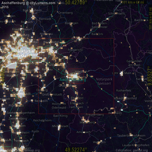
Analysis of Aschaffenburg night lights 2016
Square area 10x10 km:
 5.46%
5.46%90-99
6.44%80-89
2.94%70-79
2.8%60-69
4.06%50-59
2.94%40-49
5.18%30-39
4.62%20-29
8.54%10-19
36.97%0-9
20.03%Square area 50x50 km:
0.87%90-99
1.36%80-89
0.82%70-79
1.02%60-69
1.74%50-59
1.23%40-49
1.27%30-39
1.28%20-29
3.31%10-19
9.33%0-9
77.76%Clear (daylight) street map image can be seen on geolist.org.
Map coordinates:
50° 25' 37.5" North, 8° 26' 56.5" East
49° 58' 37.3" North, 9° 9' 7.7" East
49° 31' 21.9" North, 9° 51' 19" East
Some cities around Aschaffenburg sort by population:
• Großostheim
8.4 km =5.2 mi,  220°
220°
• Hösbach
5.1 km =3.2 mi,  50°
50°
• Goldbach
3.4 km =2.1 mi,  42°
42°
• Haibach
4.2 km =2.6 mi,  109°
109°
• Kleinostheim
6.6 km =4.1 mi,  292°
292°
• Mainaschaff
4.5 km =2.8 mi,  276°
276°
• Stockstadt am Main
5.8 km =3.6 mi,  262°
262°
• Sulzbach am Main
7.3 km =4.5 mi,  179°
179°
2955272 (p: 68,551)
Sources (retrieved 2019-11-25):
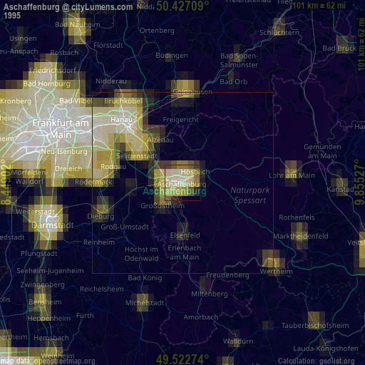
» NASA, Earths city lights 1995
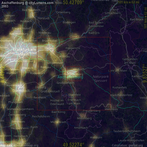
» NASA city lights 2003
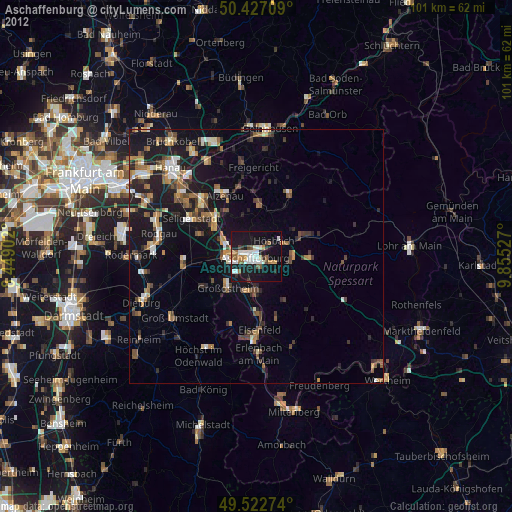
» Earth at Night: Flat Maps 2012, 2016