Ahrensburg night lights from space
Night Light of Ahrensburg (Schleswig-Holstein) from space (Germany) Src. Average luminocity for 10x10km area is 24.5492% and for 50x50km: 21.1064%.
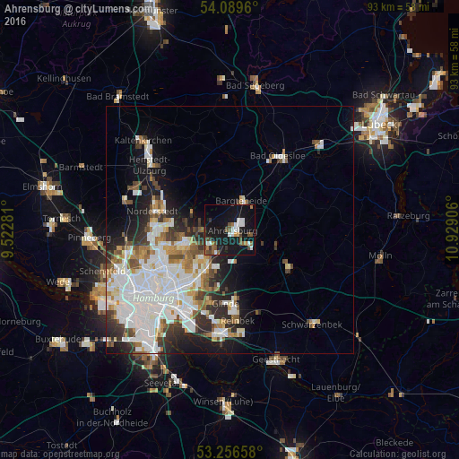
Analysis of Ahrensburg night lights 2016
Square area 10x10 km:
 4.55%
4.55%90-99
4.04%80-89
0.25%70-79
1.26%60-69
2.78%50-59
4.17%40-49
5.18%30-39
2.9%20-29
0.51%10-19
42.8%0-9
31.57%Square area 50x50 km:
6.99%90-99
5%80-89
1.34%70-79
1.61%60-69
2.22%50-59
1.84%40-49
2.25%30-39
2.17%20-29
3.73%10-19
8.06%0-9
64.78%Clear (daylight) street map image can be seen on geolist.org.
Map coordinates:
54° 5' 22.6" North, 9° 31' 22.1" East
53° 40' 30.5" North, 10° 13' 33.3" East
53° 15' 23.7" North, 10° 55' 44.6" East
Some cities around Ahrensburg sort by population:
• Sasel
7.9 km =4.9 mi,  252°
252°
• Poppenbüttel
9.5 km =5.9 mi,  259°
259°
• Bargteheide
6.5 km =4 mi,  24°
24°
• Wellingsbüttel
10.3 km =6.4 mi, 248°
• Bergstedt
6.5 km =4 mi,  266°
266°
• Großhansdorf
3.9 km =2.4 mi,  104°
104°
• Lemsahl-Mellingstedt
8.7 km =5.4 mi,  280°
280°
• Duvenstedt
8.8 km =5.5 mi,  294°
294°
2959083 (p: 30,103)
Sources (retrieved 2019-11-25):
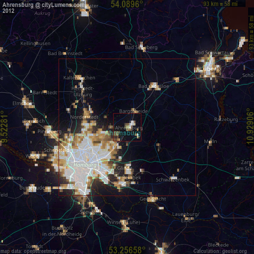
» Earth at Night: Flat Maps 2012, 2016