Žďár nad Sázavou Druhy night lights from space
Night Light of Žďár nad Sázavou Druhy (Vysočina) from space (Czech Republic) Src. Average luminocity for 10x10km area is 8.2129% and for 50x50km: 1.7909%.
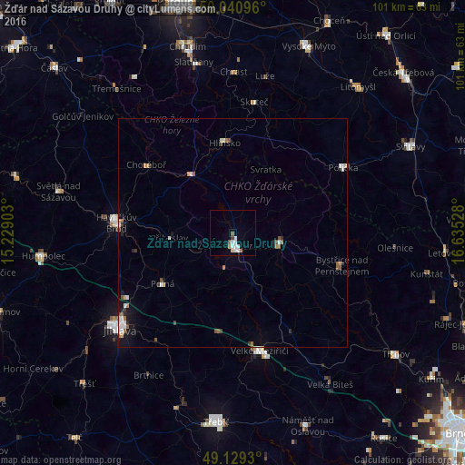
Analysis of Žďár nad Sázavou Druhy night lights 2016
Square area 10x10 km:
 2.52%
2.52%90-99
1.96%80-89
0.56%70-79
0.56%60-69
0%50-59
1.54%40-49
0.14%30-39
0.56%20-29
0%10-19
0.28%0-9
91.88%Square area 50x50 km:
0.32%90-99
0.37%80-89
0.09%70-79
0.19%60-69
0.19%50-59
0.31%40-49
0.15%30-39
0.2%20-29
0.22%10-19
0.7%0-9
97.25%Clear (daylight) street map image can be seen on geolist.org.
Map coordinates:
50° 2' 27.5" North, 15° 13' 44.5" East
49° 35' 14.1" North, 15° 55' 55.7" East
49° 7' 45.5" North, 16° 38' 7" East
Some cities around Žďár nad Sázavou Druhy sort by population:
• Havlíčkův Brod
25.5 km =15.8 mi,  274°
274°
• Velké Meziříčí
26.4 km =16.4 mi,  167°
167°
• Nové Město na Moravě
10.6 km =6.6 mi,  105°
105°
• Hlinsko
19.5 km =12.1 mi,  354°
354°
• Chotěboř
24 km =14.9 mi,  308°
308°
• Polička
27.9 km =17.3 mi,  59°
59°
• Bystřice nad Pernštejnem
24.8 km =15.4 mi, 106°
• Polná
19 km =11.8 mi,  234°
234°
3061692 (p: 23,996)
Sources (retrieved 2019-11-25):
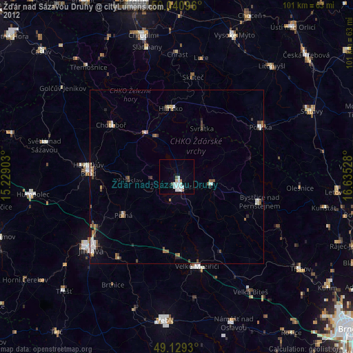
» Earth at Night: Flat Maps 2012, 2016