Bystřice nad Pernštejnem night lights from space
Night Light of Bystřice nad Pernštejnem (Vysočina) from space (Czech Republic) Src. Average luminocity for 10x10km area is 1.5882% and for 50x50km: 1.7102%.
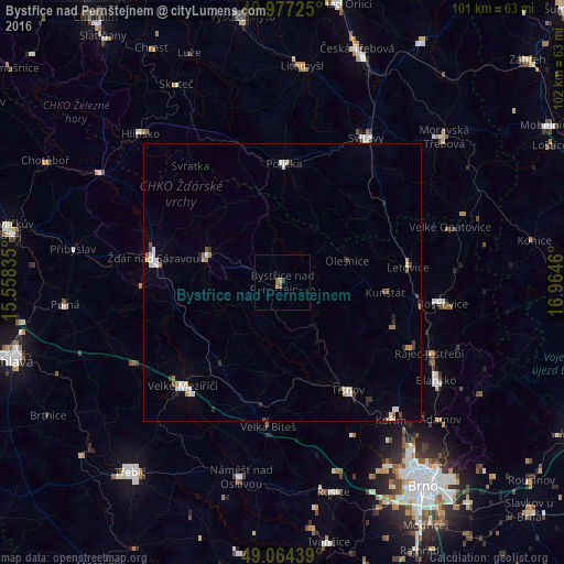
Analysis of Bystřice nad Pernštejnem night lights 2016
Square area 10x10 km:
 0%
0%90-99
0%80-89
0%70-79
0.56%60-69
0.42%50-59
1.26%40-49
0%30-39
0%20-29
0.56%10-19
0%0-9
97.2%Square area 50x50 km:
0.3%90-99
0.34%80-89
0.08%70-79
0.21%60-69
0.16%50-59
0.23%40-49
0.14%30-39
0.19%20-29
0.31%10-19
0.17%0-9
97.85%Clear (daylight) street map image can be seen on geolist.org.
Map coordinates:
49° 58' 38.1" North, 15° 33' 30.1" East
49° 31' 22.6" North, 16° 15' 41.3" East
49° 3' 51.8" North, 16° 57' 52.6" East
Some cities around Bystřice nad Pernštejnem sort by population:
• Žďár nad Sázavou
23.7 km =14.7 mi,  280°
280°
• Žďár nad Sázavou Druhy
24.8 km =15.4 mi,  286°
286°
• Velké Meziříčí
25.9 km =16.1 mi,  224°
224°
• Boskovice
29 km =18 mi,  97°
97°
• Nové Město na Moravě
14.2 km =8.8 mi, 287°
• Polička
21.3 km =13.2 mi,  0°
0°
• Tišnov
22.7 km =14.1 mi,  148°
148°
• Letovice
22.7 km =14.1 mi,  83°
83°
3078288 (p: 8,996)
Sources (retrieved 2019-11-25):
» Earth at Night: Flat Maps 2012, 2016