Polička night lights from space
Night Light of Polička (Pardubický) from space (Czech Republic) Src. Average luminocity for 10x10km area is 2.6029% and for 50x50km: 1.7604%.
Analysis of Polička night lights 2016
Square area 10x10 km:
 0.67%
0.67%90-99
0.94%80-89
0.53%70-79
0%60-69
0%50-59
0%40-49
0%30-39
0%20-29
0.53%10-19
0.53%0-9
96.79%Square area 50x50 km:
0.29%90-99
0.35%80-89
0.12%70-79
0.26%60-69
0.24%50-59
0.24%40-49
0.18%30-39
0.13%20-29
0.14%10-19
0.17%0-9
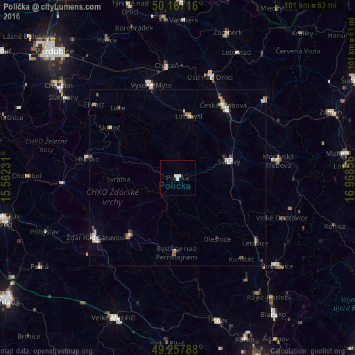
97.87%Clear (daylight) street map image can be seen on geolist.org.
Map coordinates:
50° 10' 1.8" North, 15° 33' 44.3" East
49° 42' 52.7" North, 16° 15' 55.5" East
49° 15' 28.4" North, 16° 58' 6.8" East
Some cities around Polička sort by population:
• Svitavy
15.3 km =9.5 mi,  72°
72°
• Česká Třebová
24.7 km =15.3 mi,  31°
31°
• Vysoké Mýto
27.5 km =17.1 mi,  344°
344°
• Nové Město na Moravě
21.9 km =13.6 mi,  218°
218°
• Hlinsko
26.3 km =16.3 mi,  281°
281°
• Litomyšl
17.4 km =10.8 mi,  11°
11°
• Bystřice nad Pernštejnem
21.3 km =13.2 mi,  180°
180°
• Skuteč
24 km =14.9 mi,  306°
306°
3067882 (p: 9,129)
Sources (retrieved 2019-11-25):
» Earth at Night: Flat Maps 2012, 2016