Polná night lights from space
Night Light of Polná (Vysočina) from space (Czech Republic) Src. Average luminocity for 10x10km area is 1.6078% and for 50x50km: 2.65%.
Analysis of Polná night lights 2016
Square area 10x10 km:
 0.42%
0.42%90-99
0.14%80-89
0%70-79
0%60-69
0.56%50-59
0.56%40-49
0%30-39
0.56%20-29
0%10-19
0.56%0-9
97.2%Square area 50x50 km:
0.59%90-99
0.53%80-89
0.15%70-79
0.21%60-69
0.17%50-59
0.3%40-49
0.28%30-39
0.29%20-29
0.19%10-19
1.41%0-9
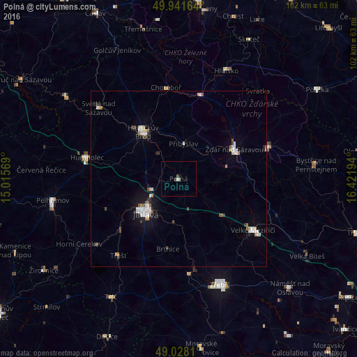
95.88%Clear (daylight) street map image can be seen on geolist.org.
Map coordinates:
49° 56' 29.9" North, 15° 0' 56.5" East
49° 29' 13.2" North, 15° 43' 7.7" East
49° 1' 41.2" North, 16° 25' 19" East
Some cities around Polná sort by population:
• Jihlava
13.7 km =8.5 mi,  222°
222°
• Havlíčkův Brod
16.7 km =10.4 mi,  322°
322°
• Žďár nad Sázavou
18 km =11.2 mi,  62°
62°
• Žďár nad Sázavou Druhy
19 km =11.8 mi,  54°
54°
• Velké Meziříčí
25.8 km =16 mi,  124°
124°
• Humpolec
26.7 km =16.6 mi,  283°
283°
• Nové Město na Moravě
27 km =16.8 mi,  72°
72°
• Chotěboř
26.2 km =16.3 mi,  352°
352°
3067870 (p: 5,006)
Sources (retrieved 2019-11-25):
» Earth at Night: Flat Maps 2012, 2016