Hlinsko night lights from space
Night Light of Hlinsko (Pardubický) from space (Czech Republic) Src. Average luminocity for 10x10km area is 2.0201% and for 50x50km: 2.0997%.
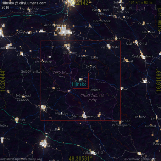
Analysis of Hlinsko night lights 2016
Square area 10x10 km:
 0%
0%90-99
1.07%80-89
0%70-79
0%60-69
0.53%50-59
0%40-49
0.53%30-39
0.53%20-29
0%10-19
0%0-9
97.33%Square area 50x50 km:
0.28%90-99
0.51%80-89
0.18%70-79
0.28%60-69
0.15%50-59
0.24%40-49
0.21%30-39
0.25%20-29
0.25%10-19
0.73%0-9
96.91%Clear (daylight) street map image can be seen on geolist.org.
Map coordinates:
50° 12' 51.1" North, 15° 12' 16" East
49° 45' 43.7" North, 15° 54' 27.2" East
49° 18' 20.9" North, 16° 36' 38.5" East
Some cities around Hlinsko sort by population:
• Žďár nad Sázavou
22.3 km =13.9 mi,  174°
174°
• Žďár nad Sázavou Druhy
19.5 km =12.1 mi, 174°
• Chrudim
22.5 km =14 mi,  339°
339°
• Vysoké Mýto
28 km =17.4 mi,  40°
40°
• Nové Město na Moravě
25.3 km =15.7 mi,  151°
151°
• Chotěboř
17.7 km =11 mi,  254°
254°
• Polička
26.3 km =16.3 mi,  101°
101°
• Skuteč
11.1 km =6.9 mi, 35°
3075766 (p: 10,411)
Sources (retrieved 2019-11-25):
» Earth at Night: Flat Maps 2012, 2016