Šumperk night lights from space
Night Light of Šumperk (Olomoucký) from space (Czech Republic) Src. Average luminocity for 10x10km area is 13.5546% and for 50x50km: 1.603%.
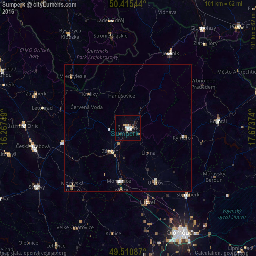
Analysis of Šumperk night lights 2016
Square area 10x10 km:
 3.08%
3.08%90-99
2.8%80-89
0.56%70-79
1.4%60-69
0.42%50-59
1.96%40-49
0.42%30-39
1.12%20-29
1.82%10-19
5.6%0-9
80.81%Square area 50x50 km:
0.21%90-99
0.32%80-89
0.17%70-79
0.13%60-69
0.13%50-59
0.27%40-49
0.22%30-39
0.18%20-29
0.23%10-19
0.36%0-9
97.78%Clear (daylight) street map image can be seen on geolist.org.
Map coordinates:
50° 24' 55.6" North, 16° 16' 3" East
49° 57' 55" North, 16° 58' 14.2" East
49° 30' 39.1" North, 17° 40' 25.5" East
Some cities around Šumperk sort by population:
• Zábřeh
11.6 km =7.2 mi,  217°
217°
• Jeseník
33.8 km =21 mi,  29°
29°
• Uničov
24.2 km =15 mi,  153°
153°
• Moravská Třebová
31.8 km =19.8 mi, 223°
• Litovel
30.3 km =18.8 mi,  165°
165°
• Lanškroun
26.3 km =16.3 mi,  257°
257°
• Mohelnice
21.3 km =13.2 mi,  189°
189°
• Rýmařov
21.9 km =13.6 mi,  99°
99°
3064673 (p: 28,768)
Sources (retrieved 2019-11-25):
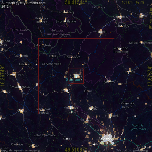
» Earth at Night: Flat Maps 2012, 2016