Strážnice night lights from space
Night Light of Strážnice (South Moravian) from space (Czech Republic) Src. Average luminocity for 10x10km area is 5.9588% and for 50x50km: 4.7476%.
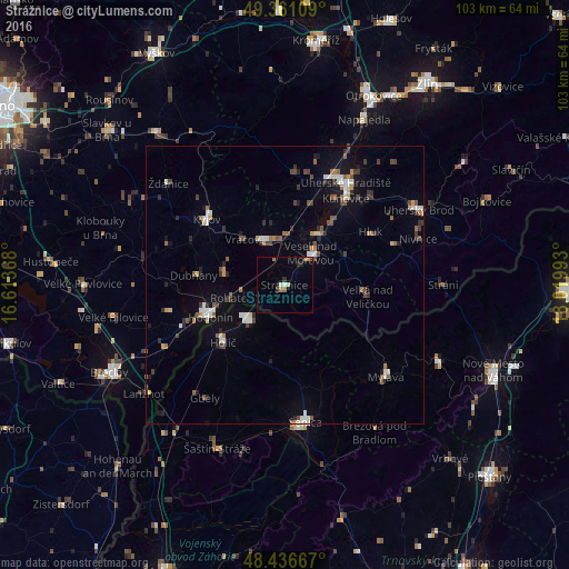
Analysis of Strážnice night lights 2016
Square area 10x10 km:
 0.43%
0.43%90-99
0.57%80-89
0.71%70-79
0.28%60-69
2.13%50-59
0.43%40-49
0%30-39
0.71%20-29
1.7%10-19
0.71%0-9
92.33%Square area 50x50 km:
0.56%90-99
0.75%80-89
0.33%70-79
0.37%60-69
0.53%50-59
0.72%40-49
0.75%30-39
0.78%20-29
0.82%10-19
2.15%0-9
92.25%Clear (daylight) street map image can be seen on geolist.org.
Map coordinates:
49° 21' 39.9" North, 16° 36' 49.2" East
48° 54' 3.7" North, 17° 19' 0.5" East
48° 26' 12" North, 18° 1' 11.7" East
Some cities around Strážnice sort by population:
• Hodonín
14.7 km =9.1 mi,  246°
246°
• Skalica, SK
9.1 km =5.7 mi,  226°
226°
• Kyjov
18.7 km =11.6 mi,  310°
310°
• Veselí nad Moravou
7.3 km =4.5 mi,  36°
36°
• Holíč, SK
15.1 km =9.4 mi, 228°
• Staré Město
21.1 km =13.1 mi,  23°
23°
• Dubňany
16.7 km =10.4 mi,  276°
276°
• Kunovice
19.5 km =12.1 mi,  34°
34°
3064995 (p: 5,900)
Sources (retrieved 2019-11-25):
» Earth at Night: Flat Maps 2012, 2016