Příbram night lights from space
Night Light of Příbram (Central Bohemia) from space (Czech Republic) Src. Average luminocity for 10x10km area is 12.5107% and for 50x50km: 1.4431%.
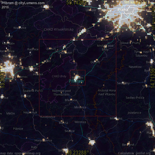
Analysis of Příbram night lights 2016
Square area 10x10 km:
 2.54%
2.54%90-99
2.81%80-89
0.53%70-79
1.07%60-69
2.14%50-59
1.07%40-49
0.8%30-39
0.8%20-29
1.07%10-19
2.27%0-9
84.89%Square area 50x50 km:
0.17%90-99
0.21%80-89
0.12%70-79
0.13%60-69
0.28%50-59
0.2%40-49
0.17%30-39
0.21%20-29
0.24%10-19
0.3%0-9
97.96%Clear (daylight) street map image can be seen on geolist.org.
Map coordinates:
50° 8' 33.4" North, 13° 18' 26.3" East
49° 41' 23.6" North, 14° 0' 37.5" East
49° 13' 58.4" North, 14° 42' 48.8" East
Some cities around Příbram sort by population:
• Beroun
30.8 km =19.1 mi,  8°
8°
• Rokycany
30.5 km =19 mi,  281°
281°
• Milevsko
36.6 km =22.7 mi,  136°
136°
• Dobříš
15.2 km =9.4 mi,  47°
47°
• Sedlčany
30.1 km =18.7 mi,  96°
96°
• Blatná
30.9 km =19.2 mi,  197°
197°
• Hořovice
18 km =11.2 mi,  334°
334°
• Králův Dvůr
29 km =18 mi,  3°
3°
3067542 (p: 35,251)
Sources (retrieved 2019-11-25):
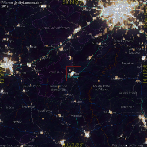
» Earth at Night: Flat Maps 2012, 2016