Pilsen night lights from space
Night Light of Pilsen (Plzeňský kraj) from space (Czech Republic) Src. Average luminocity for 10x10km area is 63.0361% and for 50x50km: 6.113%.
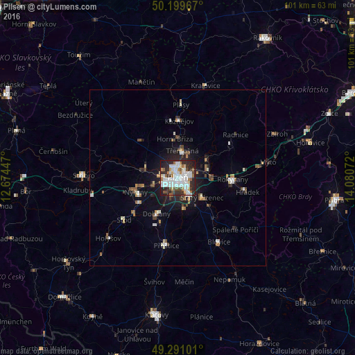


Analysis of Pilsen night lights 2016
Square area 10x10 km:
 22.59%
90-99
17.91%80-89
4.28%70-79
3.74%60-69
4.41%50-59
5.48%40-49
3.34%30-39
6.95%20-29
22.86%10-19
8.29%0-9
0.13%Square area 50x50 km:
1.22%90-99
1.2%80-89
0.41%70-79
0.56%60-69
0.53%50-59
0.74%40-49
0.68%30-39
0.71%20-29
1.82%10-19
3.41%0-9
88.72%Clear (daylight) street map image can be seen on geolist.org.
Map coordinates:
50° 11' 58.8" North, 12° 40' 28.1" East
49° 44' 50.9" North, 13° 22' 39.3" East
49° 17' 27.6" North, 14° 4' 50.6" East
Some cities around Pilsen sort by population:
• Příbram
45.9 km =28.5 mi,  98°
98°
• Klatovy
39.6 km =24.6 mi,  188°
188°
• Rokycany
15.6 km =9.7 mi,  91°
91°
• Stříbro
27.4 km =17 mi,  271°
271°
• Nýřany
12.6 km =7.8 mi,  251°
251°
• Hořovice
39 km =24.2 mi,  75°
75°
• Přeštice
19.7 km =12.2 mi, 189°
• Dobřany
12 km =7.5 mi,  210°
210°
3068160 (p: 164,180)
Sources (retrieved 2019-11-25):
» NASA, Earths city lights 1995
» NASA city lights 2003
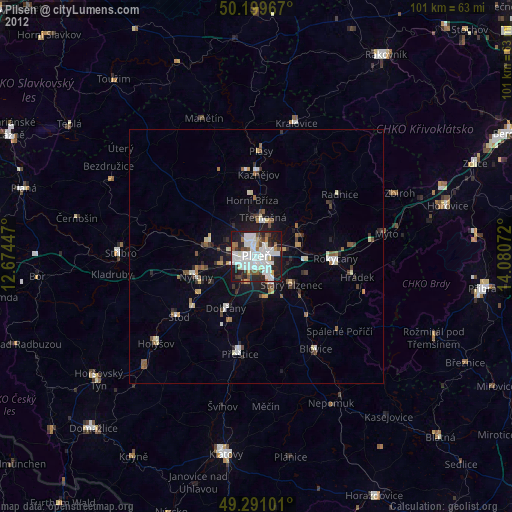
» Earth at Night: Flat Maps 2012, 2016