Pardubice night lights from space
Night Light of Pardubice (Pardubický) from space (Czech Republic) Src. Average luminocity for 10x10km area is 45.3852% and for 50x50km: 6.1464%.
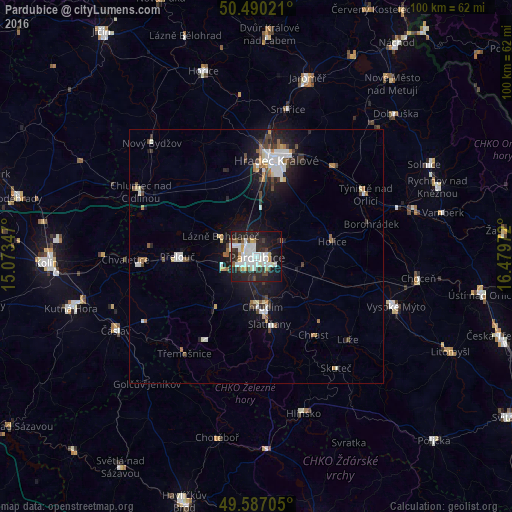
Analysis of Pardubice night lights 2016
Square area 10x10 km:
 13.87%
90-99
12.61%80-89
2.38%70-79
3.64%60-69
0.84%50-59
1.68%40-49
5.32%30-39
4.76%20-29
20.31%10-19
25.07%0-9
9.52%Square area 50x50 km:
1.16%90-99
1.33%80-89
0.36%70-79
0.51%60-69
0.63%50-59
0.42%40-49
0.92%30-39
0.66%20-29
1.68%10-19
5%0-9
87.33%Clear (daylight) street map image can be seen on geolist.org.
Map coordinates:
50° 29' 24.8" North, 15° 4' 24.5" East
50° 2' 26.7" North, 15° 46' 35.7" East
49° 35' 13.4" North, 16° 28' 47" East
Some cities around Pardubice sort by population:
• Hradec Králové
19.2 km =11.9 mi,  12°
12°
• Chrudim
10.1 km =6.3 mi,  172°
172°
• Přelouč
15.4 km =9.6 mi,  269°
269°
• Týniště nad Orlicí
24.7 km =15.3 mi,  60°
60°
• Holice
15.2 km =9.4 mi,  79°
79°
• Třebechovice pod Orebem
23.5 km =14.6 mi,  40°
40°
• Skuteč
27 km =16.8 mi,  144°
144°
• Chlumec nad Cidlinou
25.9 km =16.1 mi,  299°
299°
3068582 (p: 88,741)
Sources (retrieved 2019-11-25):
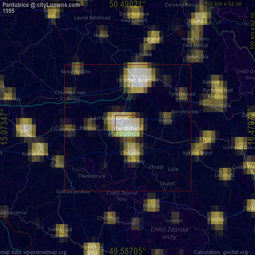
» NASA, Earths city lights 1995
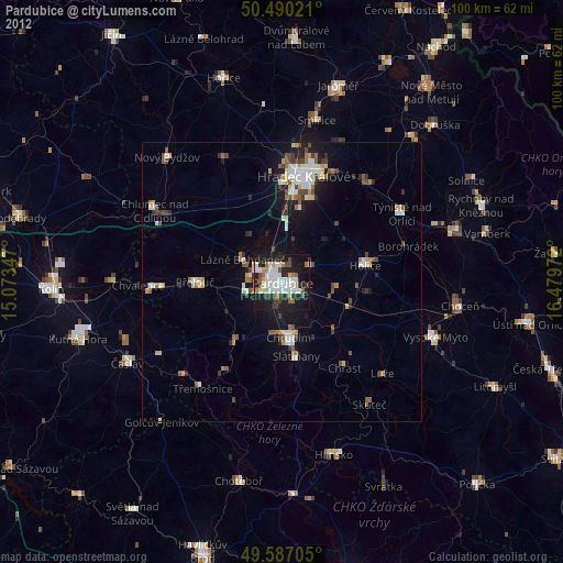
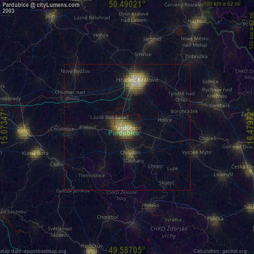
» NASA city lights 2003
» Earth at Night: Flat Maps 2012, 2016