Chrudim night lights from space
Night Light of Chrudim (Pardubický) from space (Czech Republic) Src. Average luminocity for 10x10km area is 15.8249% and for 50x50km: 4.27%.
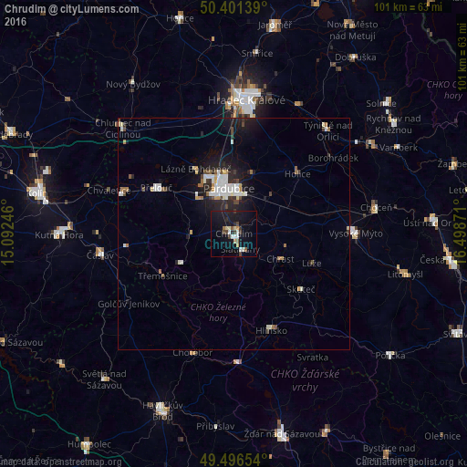
Analysis of Chrudim night lights 2016
Square area 10x10 km:
 1.4%
1.4%90-99
2.66%80-89
1.54%70-79
1.68%60-69
0.56%50-59
1.68%40-49
2.66%30-39
2.1%20-29
2.1%10-19
22.13%0-9
61.48%Square area 50x50 km:
0.75%90-99
0.9%80-89
0.31%70-79
0.34%60-69
0.34%50-59
0.32%40-49
0.56%30-39
0.46%20-29
1.15%10-19
3.65%0-9
91.23%Clear (daylight) street map image can be seen on geolist.org.
Map coordinates:
50° 24' 5" North, 15° 5' 32.9" East
49° 57' 3.9" North, 15° 47' 44.1" East
49° 29' 47.5" North, 16° 29' 55.4" East
Some cities around Chrudim sort by population:
• Hradec Králové
28.8 km =17.9 mi,  5°
5°
• Pardubice
10.1 km =6.3 mi,  352°
352°
• Vysoké Mýto
26.2 km =16.3 mi,  89°
89°
• Hlinsko
22.5 km =14 mi,  159°
159°
• Chotěboř
27.1 km =16.8 mi,  199°
199°
• Přelouč
19.5 km =12.1 mi,  300°
300°
• Holice
18.7 km =11.6 mi,  46°
46°
• Skuteč
18.7 km =11.6 mi,  129°
129°
3077539 (p: 23,630)
Sources (retrieved 2019-11-25):
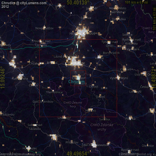
» Earth at Night: Flat Maps 2012, 2016