Nýrsko night lights from space
Night Light of Nýrsko (Plzeňský kraj) from space (Czech Republic) Src. Average luminocity for 10x10km area is 0.9412% and for 50x50km: 0.9447%.
Analysis of Nýrsko night lights 2016
Square area 10x10 km:
 0%
0%90-99
0%80-89
0.53%70-79
0.53%60-69
0%50-59
0%40-49
0%30-39
0%20-29
0%10-19
0%0-9
98.93%Square area 50x50 km:
0.14%90-99
0.17%80-89
0.08%70-79
0.09%60-69
0.07%50-59
0.19%40-49
0.16%30-39
0.13%20-29
0.12%10-19
0.15%0-9
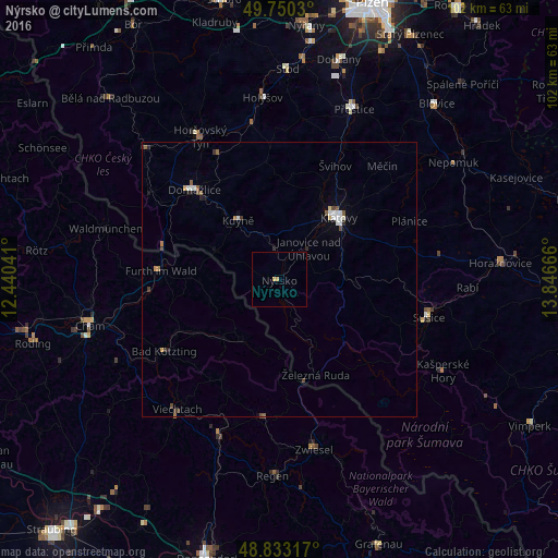
98.71%Clear (daylight) street map image can be seen on geolist.org.
Map coordinates:
49° 45' 1.1" North, 12° 26' 25.5" East
49° 17' 37.9" North, 13° 8' 36.7" East
48° 49' 59.4" North, 13° 50' 48" East
Some cities around Nýrsko sort by population:
• Klatovy
15.8 km =9.8 mi,  44°
44°
• Sušice
28.2 km =17.5 mi,  104°
104°
• Domažlice
22.5 km =14 mi,  316°
316°
• Zwiesel, DE
31.5 km =19.6 mi,  167°
167°
• Furth im Wald, DE
22 km =13.7 mi,  274°
274°
• Viechtach, DE
30.3 km =18.8 mi,  218°
218°
• Kötzting, DE
24.7 km =15.3 mi,  238°
238°
• Waldmünchen, DE
32.8 km =20.4 mi,  286°
286°
3069230 (p: 5,070)
Sources (retrieved 2019-11-25):
» Earth at Night: Flat Maps 2012, 2016