Domažlice night lights from space
Night Light of Domažlice (Plzeňský kraj) from space (Czech Republic) Src. Average luminocity for 10x10km area is 4.5028% and for 50x50km: 0.9286%.
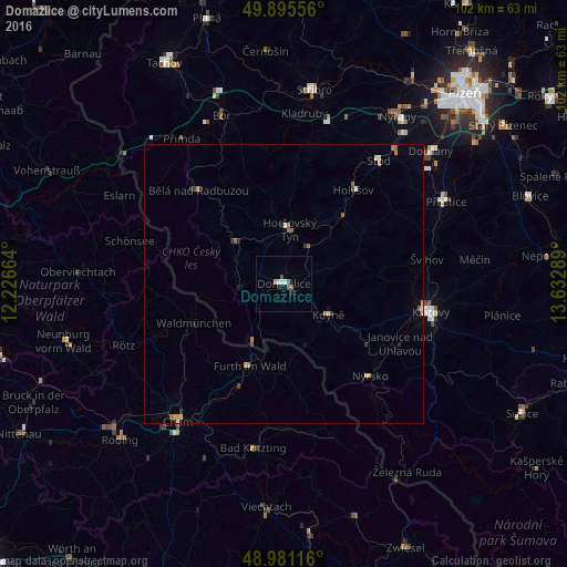
Analysis of Domažlice night lights 2016
Square area 10x10 km:
 0.84%
0.84%90-99
0.84%80-89
0%70-79
0.56%60-69
0%50-59
1.68%40-49
0.56%30-39
0%20-29
0.98%10-19
1.26%0-9
93.28%Square area 50x50 km:
0.06%90-99
0.11%80-89
0.09%70-79
0.16%60-69
0.14%50-59
0.27%40-49
0.05%30-39
0.12%20-29
0.2%10-19
0.13%0-9
98.67%Clear (daylight) street map image can be seen on geolist.org.
Map coordinates:
49° 53' 44" North, 12° 13' 35.9" East
49° 26' 25.8" North, 12° 55' 47.1" East
48° 58' 52.2" North, 13° 37' 58.4" East
Some cities around Domažlice sort by population:
• Klatovy
26.9 km =16.7 mi,  100°
100°
• Cham, DE
31.1 km =19.3 mi,  219°
219°
• Furth im Wald, DE
15.9 km =9.9 mi,  203°
203°
• Stříbro
35.4 km =22 mi,  7°
7°
• Kötzting, DE
29.8 km =18.5 mi,  190°
190°
• Waldmünchen, DE
17.4 km =10.8 mi,  246°
246°
• Přeštice
32.7 km =20.3 mi,  63°
63°
• Nýrsko
22.5 km =14 mi,  136°
136°
3076587 (p: 10,944)
Sources (retrieved 2019-11-25):
» Earth at Night: Flat Maps 2012, 2016