Lipník nad Bečvou night lights from space
Night Light of Lipník nad Bečvou (Olomoucký) from space (Czech Republic) Src. Average luminocity for 10x10km area is 4.9552% and for 50x50km: 5.5961%.
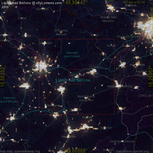
Analysis of Lipník nad Bečvou night lights 2016
Square area 10x10 km:
 0.42%
0.42%90-99
0.7%80-89
1.12%70-79
0%60-69
0.56%50-59
0.28%40-49
2.8%30-39
0.42%20-29
0.14%10-19
0.28%0-9
93.28%Square area 50x50 km:
0.9%90-99
1.16%80-89
0.35%70-79
0.59%60-69
0.52%50-59
0.5%40-49
0.68%30-39
0.83%20-29
1.26%10-19
3.03%0-9
90.18%Clear (daylight) street map image can be seen on geolist.org.
Map coordinates:
49° 58' 53.3" North, 16° 52' 58.2" East
49° 31' 38" North, 17° 35' 9.4" East
49° 4' 7.3" North, 18° 17' 20.7" East
Some cities around Lipník nad Bečvou sort by population:
• Olomouc
25.3 km =15.7 mi,  287°
287°
• Přerov
12.6 km =7.8 mi,  230°
230°
• Hranice
11 km =6.8 mi,  77°
77°
• Holešov
21.6 km =13.4 mi,  181°
181°
• Bystřice pod Hostýnem
15.6 km =9.7 mi,  155°
155°
• Hulín
25 km =15.5 mi,  200°
200°
• Odry
23.2 km =14.4 mi,  49°
49°
• Chropyně
24.8 km =15.4 mi,  220°
220°
3071791 (p: 8,369)
Sources (retrieved 2019-11-25):
» Earth at Night: Flat Maps 2012, 2016