Kolín night lights from space
Night Light of Kolín (Central Bohemia) from space (Czech Republic) Src. Average luminocity for 10x10km area is 22.1779% and for 50x50km: 3.3657%.
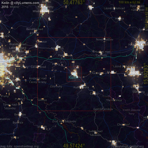
Analysis of Kolín night lights 2016
Square area 10x10 km:
 4.76%
4.76%90-99
5.88%80-89
1.54%70-79
2.38%60-69
0.56%50-59
0.14%40-49
2.1%30-39
1.68%20-29
1.96%10-19
30.81%0-9
48.18%Square area 50x50 km:
0.41%90-99
0.67%80-89
0.29%70-79
0.39%60-69
0.36%50-59
0.38%40-49
0.4%30-39
0.4%20-29
0.37%10-19
1.59%0-9
94.74%Clear (daylight) street map image can be seen on geolist.org.
Map coordinates:
50° 28' 39.5" North, 14° 29' 48" East
50° 1' 41" North, 15° 11' 59.3" East
49° 34' 27.3" North, 15° 54' 10.5" East
Some cities around Kolín sort by population:
• Kutná Hora
10.1 km =6.3 mi,  151°
151°
• Nymburk
20.9 km =13 mi,  327°
327°
• Poděbrady
14 km =8.7 mi,  335°
335°
• Čáslav
18.8 km =11.7 mi,  133°
133°
• Přelouč
25.8 km =16 mi,  87°
87°
• Český Brod
24.7 km =15.3 mi,  281°
281°
• Milovice
31.2 km =19.4 mi,  314°
314°
• Chlumec nad Cidlinou
23.3 km =14.5 mi,  52°
52°
3073371 (p: 29,690)
Sources (retrieved 2019-11-25):
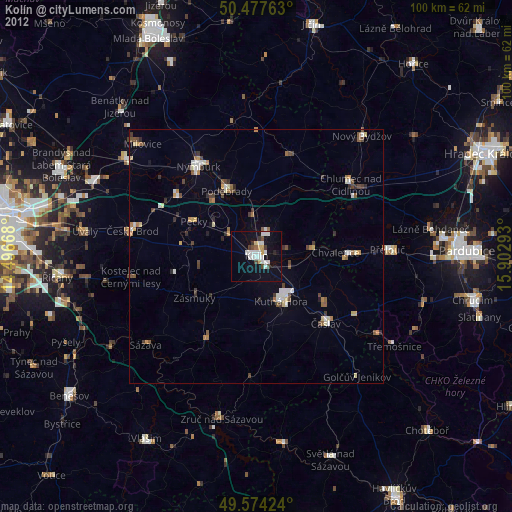
» Earth at Night: Flat Maps 2012, 2016