Nymburk night lights from space
Night Light of Nymburk (Central Bohemia) from space (Czech Republic) Src. Average luminocity for 10x10km area is 9.8409% and for 50x50km: 4.3036%.
Analysis of Nymburk night lights 2016
Square area 10x10 km:
 0.94%
0.94%90-99
2.94%80-89
1.47%70-79
1.07%60-69
0%50-59
0.8%40-49
0.8%30-39
0.4%20-29
0.13%10-19
0.53%0-9
90.91%Square area 50x50 km:
0.51%90-99
0.74%80-89
0.26%70-79
0.53%60-69
0.49%50-59
0.4%40-49
0.43%30-39
0.62%20-29
0.63%10-19
3.45%0-9
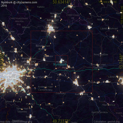
91.95%Clear (daylight) street map image can be seen on geolist.org.
Map coordinates:
50° 38' 2.9" North, 14° 20' 18.8" East
50° 11' 9.8" North, 15° 2' 30" East
49° 44' 1.4" North, 15° 44' 41.3" East
Some cities around Nymburk sort by population:
• Kolín
20.9 km =13 mi,  147°
147°
• Brandýs nad Labem-Stará Boleslav
26.9 km =16.7 mi,  270°
270°
• Poděbrady
7.3 km =4.5 mi,  131°
131°
• Čelákovice
21 km =13 mi,  262°
262°
• Lysá nad Labem
15 km =9.3 mi,  276°
276°
• Benátky nad Jizerou
19.4 km =12.1 mi,  306°
306°
• Český Brod
17.9 km =11.1 mi,  226°
226°
• Milovice
11.8 km =7.3 mi,  292°
292°
3069236 (p: 14,373)
Sources (retrieved 2019-11-25):
» Earth at Night: Flat Maps 2012, 2016