Kladno night lights from space
Night Light of Kladno (Central Bohemia) from space (Czech Republic) Src. Average luminocity for 10x10km area is 31.131% and for 50x50km: 14.7634%.
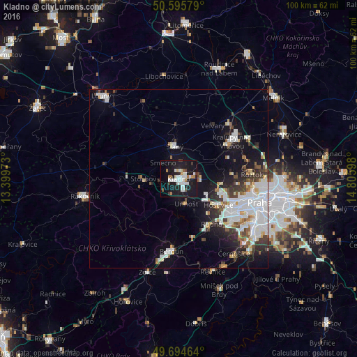
Analysis of Kladno night lights 2016
Square area 10x10 km:
 7.62%
7.62%90-99
8.29%80-89
1.2%70-79
1.07%60-69
3.34%50-59
1.87%40-49
0.94%30-39
2.27%20-29
7.09%10-19
45.05%0-9
21.26%Square area 50x50 km:
4.57%90-99
3.27%80-89
1.03%70-79
0.83%60-69
1.03%50-59
1.25%40-49
1.42%30-39
1.79%20-29
2.75%10-19
9.45%0-9
72.61%Clear (daylight) street map image can be seen on geolist.org.
Map coordinates:
50° 35' 44.8" North, 13° 23' 59" East
50° 8' 50.4" North, 14° 6' 10.3" East
49° 41' 40.7" North, 14° 48' 21.5" East
Some cities around Kladno sort by population:
• Beroun
20.5 km =12.7 mi,  186°
186°
• Kralupy nad Vltavou
18.1 km =11.2 mi,  54°
54°
• Slaný
9.3 km =5.8 mi,  353°
353°
• Malá Strana
22.5 km =14 mi,  107°
107°
• Roztoky
21 km =13 mi,  86°
86°
• Králův Dvůr
22.5 km =14 mi, 192°
• Stochov
9.9 km =6.2 mi,  269°
269°
• Nové Strašecí
14.4 km =8.9 mi, 272°
3073699 (p: 70,003)
Sources (retrieved 2019-11-25):
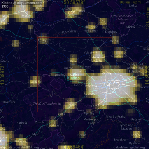
» NASA, Earths city lights 1995
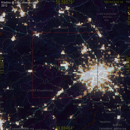
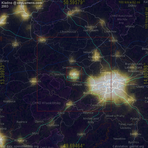
» NASA city lights 2003
» Earth at Night: Flat Maps 2012, 2016