Jablonec nad Nisou night lights from space
Night Light of Jablonec nad Nisou (Liberecký kraj) from space (Czech Republic) Src. Average luminocity for 10x10km area is 21.4813% and for 50x50km: 5.5756%.
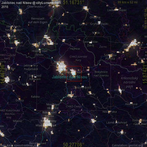
Analysis of Jablonec nad Nisou night lights 2016
Square area 10x10 km:
 5.61%
5.61%90-99
3.21%80-89
0.53%70-79
1.2%60-69
1.34%50-59
2.67%40-49
2.01%30-39
2.54%20-29
2.14%10-19
33.96%0-9
44.79%Square area 50x50 km:
1.22%90-99
1.02%80-89
0.42%70-79
0.5%60-69
0.36%50-59
0.6%40-49
0.57%30-39
0.65%20-29
1%10-19
4.34%0-9
89.32%Clear (daylight) street map image can be seen on geolist.org.
Map coordinates:
51° 10' 2.3" North, 14° 28' 4.7" East
50° 43' 27.5" North, 15° 10' 15.9" East
50° 16' 37.5" North, 15° 52' 27.2" East
Some cities around Jablonec nad Nisou sort by population:
• Liberec
9.4 km =5.8 mi,  300°
300°
• Bogatynia, PL
25.3 km =15.7 mi,  323°
323°
• Turnov
15.7 km =9.8 mi,  184°
184°
• Semily
17.9 km =11.1 mi,  139°
139°
• Frýdlant
22.8 km =14.2 mi,  343°
343°
• Tanvald
9.6 km =6 mi,  81°
81°
• Železný Brod
10.8 km =6.7 mi,  147°
147°
• Chrastava
17.6 km =10.9 mi,  305°
305°
3074603 (p: 44,878)
Sources (retrieved 2019-11-25):
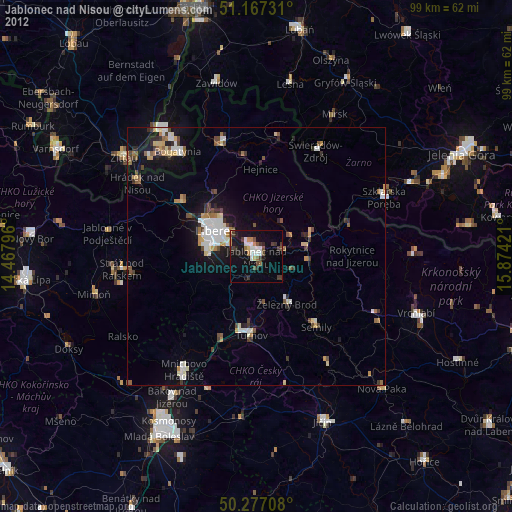
» Earth at Night: Flat Maps 2012, 2016