Česká Kamenice night lights from space
Night Light of Česká Kamenice (Ústecký kraj) from space (Czech Republic) Src. Average luminocity for 10x10km area is 1.8165% and for 50x50km: 3.7063%.
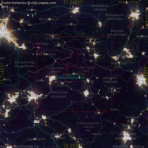
Analysis of Česká Kamenice night lights 2016
Square area 10x10 km:
 0%
0%90-99
0%80-89
0%70-79
0.84%60-69
0.84%50-59
0%40-49
0.42%30-39
0.28%20-29
0.42%10-19
0%0-9
97.2%Square area 50x50 km:
0.54%90-99
0.74%80-89
0.18%70-79
0.27%60-69
0.43%50-59
0.43%40-49
0.45%30-39
0.53%20-29
0.41%10-19
2.35%0-9
93.66%Clear (daylight) street map image can be seen on geolist.org.
Map coordinates:
51° 14' 24.4" North, 13° 42' 52.4" East
50° 47' 52.1" North, 14° 25' 3.6" East
50° 21' 4.6" North, 15° 7' 14.9" East
Some cities around Česká Kamenice sort by population:
• Děčín
14.4 km =8.9 mi,  263°
263°
• Varnsdorf
18.9 km =11.7 mi,  48°
48°
• Nový Bor
10.7 km =6.6 mi,  114°
114°
• Rumburk
19.7 km =12.2 mi,  29°
29°
• Sebnitz, DE
22.1 km =13.7 mi,  333°
333°
• Großschönau, DE
21.8 km =13.5 mi,  58°
58°
• Šluknov
23 km =14.3 mi,  6°
6°
• Jílové
22.4 km =13.9 mi, 259°
3077932 (p: 5,475)
Sources (retrieved 2019-11-25):
» Earth at Night: Flat Maps 2012, 2016