Černý Most night lights from space
Night Light of Černý Most (Hlavní město Praha) from space (Czech Republic) Src. Average luminocity for 10x10km area is 68.3115% and for 50x50km: 23.4991%.
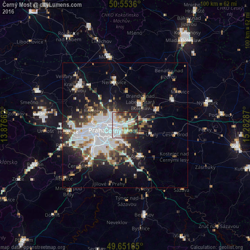
Analysis of Černý Most night lights 2016
Square area 10x10 km:
 23.53%
90-99
17.65%80-89
5.08%70-79
7.75%60-69
7.22%50-59
5.75%40-49
5.75%30-39
8.56%20-29
16.98%10-19
1.74%0-9
0%Square area 50x50 km:
7.46%90-99
4.86%80-89
1.47%70-79
1.77%60-69
2.08%50-59
2.25%40-49
2.32%30-39
3.24%20-29
5.11%10-19
11.69%0-9
57.75%Clear (daylight) street map image can be seen on geolist.org.
Map coordinates:
50° 33' 13" North, 13° 52' 35.8" East
50° 6' 17.1" North, 14° 34' 47.1" East
49° 39' 5.9" North, 15° 16' 58.3" East
Some cities around Černý Most sort by population:
• Libeň
7.5 km =4.7 mi,  272°
272°
• Letňany
5.5 km =3.4 mi,  305°
305°
• Prosek
5.3 km =3.3 mi,  282°
282°
• Horní Počernice
2.3 km =1.4 mi,  69°
69°
• Střížkov
6.6 km =4.1 mi,  291°
291°
• Karlín
9.6 km =6 mi,  261°
261°
• Vysočany
4.5 km =2.8 mi, 276°
• Kbely
3.8 km =2.4 mi,  326°
326°
6269470 (p: 21,500)
Sources (retrieved 2019-11-25):
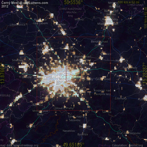
» Earth at Night: Flat Maps 2012, 2016