Libeň night lights from space
Night Light of Libeň (Hlavní město Praha) from space (Czech Republic) Src. Average luminocity for 10x10km area is 93.3008% and for 50x50km: 24.3208%.
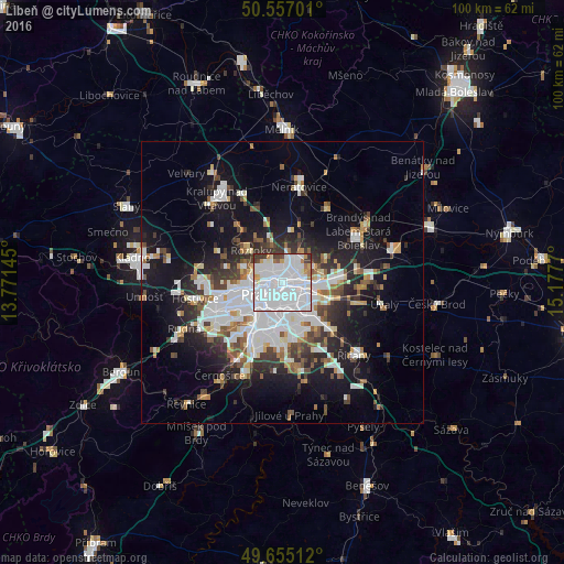
Analysis of Libeň night lights 2016
Square area 10x10 km:
 68.32%
90-99
16.18%80-89
2.67%70-79
2.94%60-69
2.94%50-59
0.67%40-49
2.41%30-39
3.88%20-29
0%10-19
0%0-9
0%Square area 50x50 km:
7.63%90-99
4.98%80-89
1.52%70-79
1.77%60-69
2.07%50-59
2.29%40-49
2.4%30-39
3.27%20-29
5.25%10-19
13.87%0-9
54.94%Clear (daylight) street map image can be seen on geolist.org.
Map coordinates:
50° 33' 25.2" North, 13° 46' 17.2" East
50° 6' 29.5" North, 14° 28' 28.5" East
49° 39' 18.4" North, 15° 10' 39.7" East
Some cities around Libeň sort by population:
• Prague
4.4 km =2.7 mi,  239°
239°
• Letňany
4.1 km =2.5 mi,  47°
47°
• Prosek
2.4 km =1.5 mi,  71°
71°
• Střížkov
2.5 km =1.6 mi,  33°
33°
• Karlín
2.6 km =1.6 mi,  228°
228°
• Vysočany
3 km =1.9 mi,  87°
87°
• Staré Město
4.5 km =2.8 mi, 238°
• Malá Strana
5.5 km =3.4 mi,  245°
245°
3071966 (p: 31,756)
Sources (retrieved 2019-11-25):
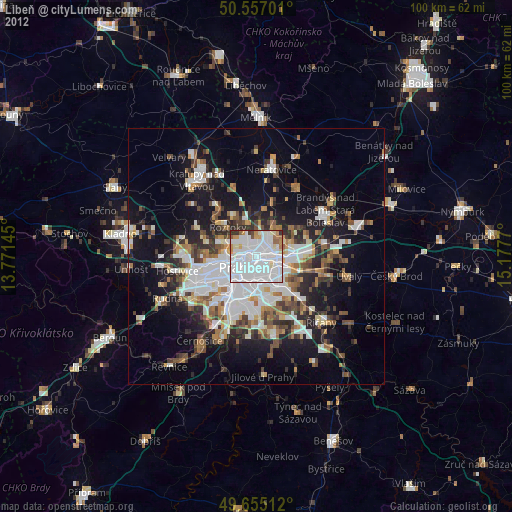
» Earth at Night: Flat Maps 2012, 2016