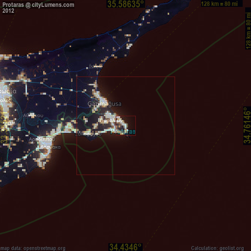
Protaras night lights from space
Night Light of Protaras (Ammochostos) from space (Cyprus) Src. Average luminocity for 10x10km area is 33.6486% and for 50x50km: 8.7299%.
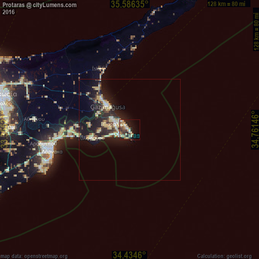
Analysis of Protaras night lights 2016
Square area 10x10 km:
 2.97%
2.97%90-99
5.07%80-89
7.17%70-79
5.94%60-69
4.2%50-59
4.9%40-49
3.85%30-39
6.99%20-29
7.87%10-19
19.58%0-9
31.47%Square area 50x50 km:
0.58%90-99
1.18%80-89
2.23%70-79
1.1%60-69
0.59%50-59
0.68%40-49
1.22%30-39
1.47%20-29
3.29%10-19
8.59%0-9
79.07%Clear (daylight) street map image can be seen on geolist.org.
Map coordinates:
35° 35' 10.9" North, 33° 21' 18.8" East
35° 0' 45" North, 34° 3' 30" East
34° 26' 4.6" North, 34° 45' 41.3" East
Some cities around Protaras sort by population:
• Larnaca
40.9 km =25.4 mi,  255°
255°
• Famagusta
16.2 km =10.1 mi,  317°
317°
• Pérgamos
32 km =19.9 mi,  275°
275°
• Aradíppou
43 km =26.7 mi, 260°
• Paralímni
7.6 km =4.7 mi,  293°
293°
• Xylofágou
19.5 km =12.1 mi, 258°
• Livádia
39.9 km =24.8 mi, 260°
• Derýneia
10.6 km =6.6 mi,  303°
303°
18918 (p: 20,230)
Sources (retrieved 2019-11-25):
» Earth at Night: Flat Maps 2012, 2016