Limassol night lights from space
Night Light of Limassol from space (Cyprus) Src. Average luminocity for 10x10km area is 72.6066% and for 50x50km: 12.0286%.
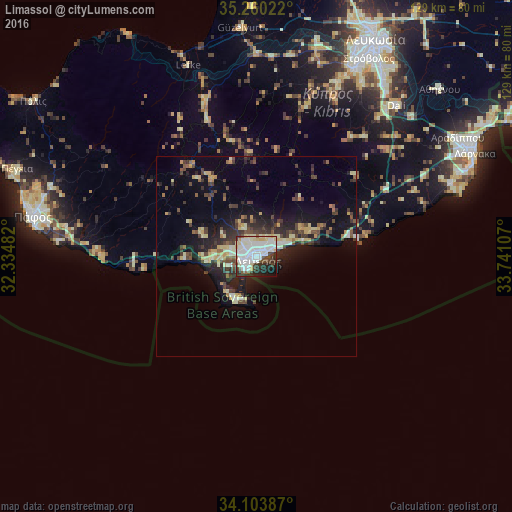
Analysis of Limassol night lights 2016
Square area 10x10 km:
 25.87%
90-99
25.87%80-89
8.92%70-79
2.8%60-69
0.35%50-59
4.2%40-49
7.87%30-39
5.59%20-29
11.71%10-19
6.12%0-9
0.7%Square area 50x50 km:
1.3%90-99
1.91%80-89
2.1%70-79
1.11%60-69
0.59%50-59
1.09%40-49
2.66%30-39
2.67%20-29
3.57%10-19
7.68%0-9
75.32%Clear (daylight) street map image can be seen on geolist.org.
Map coordinates:
35° 15' 36.8" North, 32° 20' 5.4" East
34° 41' 2.6" North, 33° 2' 16.6" East
34° 6' 13.9" North, 33° 44' 27.9" East
Some cities around Limassol sort by population:
• Paphos
57 km =35.4 mi,  280°
280°
• Mórfou
57.4 km =35.7 mi,  355°
355°
• Geroskipou
54.2 km =33.7 mi, 278°
• Léfka
50.6 km =31.4 mi,  340°
340°
• Ýpsonas
7 km =4.3 mi,  273°
273°
• Dáli
51.5 km =32 mi,  42°
42°
• Tséri
50.5 km =31.4 mi,  31°
31°
• Dhromolaxia
54.5 km =33.9 mi,  66°
66°
146384 (p: 154,000)
Sources (retrieved 2019-11-25):
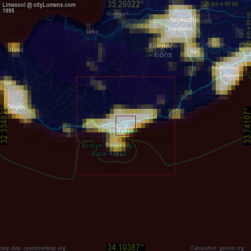
» NASA, Earths city lights 1995
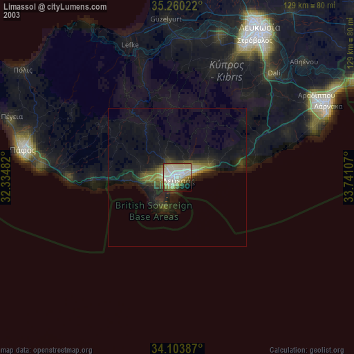
» NASA city lights 2003
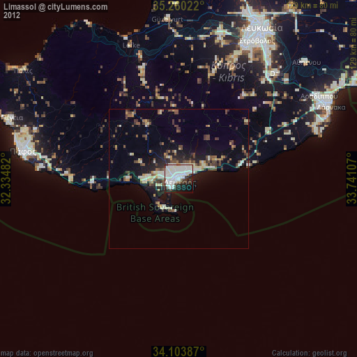
» Earth at Night: Flat Maps 2012, 2016